- Usage in publication:
-
- Bunejug formation*
- Modifications:
-
- Named
- Dominant lithology:
-
- Basalt
- Andesite
- AAPG geologic province:
-
- Great Basin province
Summary:
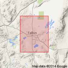
Named after Bunejug Mountains. Type locality is in west face of 4,886-ft mountain in south-central Bunejug Mountains, secs.33-34 T17N R30E, Churchill Co, NV. Consists of series of basalts and andesites. Maximum thickness is 650 ft. Unconformably overlies Truckee formation and in some places interfingers with it. Underlies pre-Lake Lahontan lacustrine deposits. Is considered to be Pliocene age, perhaps ranging to early Pleistocene in its upper part based on stratigraphic relations.
Source: GNU records (USGS DDS-6; Menlo GNULEX).
For more information, please contact Nancy Stamm, Geologic Names Committee Secretary.
Asterisk (*) indicates published by U.S. Geological Survey authors.
"No current usage" (†) implies that a name has been abandoned or has fallen into disuse. Former usage and, if known, replacement name given in parentheses ( ).
Slash (/) indicates name conflicts with nomenclatural guidelines (CSN, 1933; ACSN, 1961, 1970; NACSN, 1983, 2005, 2021). May be explained within brackets ([ ]).

