

- Usage in publication:
-
- Bully Creek Formation
- Modifications:
-
- Named
- Dominant lithology:
-
- Volcaniclastics
- Tuff
- Diatomite
- AAPG geologic province:
-
- Snake River basin
Summary:
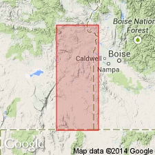
Named for volcanic sandstones and diatomites in Harper Basin district. Type section designated in 2 parts: (I) SW/4 sec.7 T19S R41E and (II) NW/4 sec.11 T19S R41E, Malheur Co, OR. Measured sections included in report. Composed of epiclastic volcanic conglomerates, altered volcanic sandstones, and indurated vitric tuffs in lower part; diatomite in middle, and volcanic conglomerate in upper part. Thickness is about 440 ft. Unconformably overlies Littlefield Rhyolite (new) and Drip Spring Formation (new). Underlies Grassy Mountain Formation. In western and northern margins of Harper Basin rests on faulted Littlefield Rhyolite and Hunter Creek Basalt (new). Age is Pliocene(?) [in graphic type section] based on stratigraphic relations with Juntura Formation which contains early Pliocene mammalian fauna.
Source: GNU records (USGS DDS-6; Menlo GNULEX).
- Usage in publication:
-
- Bully Creek Formation
- Modifications:
-
- Mapped
- AAPG geologic province:
-
- Snake River basin
Summary:
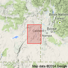
Shown on geologic map of Owyhee region, Malheur Co, OR as Pliocene age. Described as interbedded diatomites, vitric tuffs, and volcaniclastic rocks. Underlies Grassy Mountain Formation; also unconformably underlies Quaternary alluvium. Overlies Drip Spring Formation, Littlefield Rhyolite, and Hunter Creek Basalt.
Source: GNU records (USGS DDS-6; Menlo GNULEX).
- Usage in publication:
-
- Bully Creek Formation
- Modifications:
-
- Age modified
- AAPG geologic province:
-
- Snake River basin
Summary:
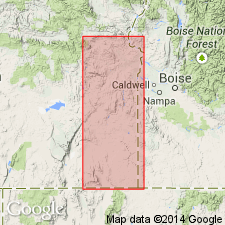
Age of diatomite bands in Bully Creek Formation is early Pliocene. Age of unit shown as Pliocene in stratigraphic column.
Source: GNU records (USGS DDS-6; Menlo GNULEX).
For more information, please contact Nancy Stamm, Geologic Names Committee Secretary.
Asterisk (*) indicates published by U.S. Geological Survey authors.
"No current usage" (†) implies that a name has been abandoned or has fallen into disuse. Former usage and, if known, replacement name given in parentheses ( ).
Slash (/) indicates name conflicts with nomenclatural guidelines (CSN, 1933; ACSN, 1961, 1970; NACSN, 1983, 2005, 2021). May be explained within brackets ([ ]).