The National Geologic Map Database is migrating to a new infrastructure. We apologize for any service disruptions during this process.
|
|---|


- Usage in publication:
-
- Bullis trilobite beds
- Modifications:
-
- Named
- Dominant lithology:
-
- Shale
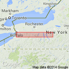
- AAPG geologic province:
-
- Appalachian basin
Summary:
Ledyard Member of Ludlowville Formation subdivided into newly named Winspear and Elma submembers [informal]. Bullis trilobite beds are 25 to 50 cm thick and occur within the Elma, between 19.5 and 21 m above the base of the Ledyard in every locality studied by author. The Bullis is described as a faunal interval of densely crowded trilobite carapaces and small pectinid bivalves within an otherwise uniform shale sequence. Underlies Pond Brook interval (new). Age is Middle Devonian.
["Submember" not recognized as a formal stratigraphic rank term (CSN, 1933; ACSN, 1961, 1970; NACSN, 1983, 2005). Considered informal until formally published. The rank or lithologic term should not be capitalized.]
Source: GNU records (USGS DDS-6; Reston GNULEX).
For more information, please contact Nancy Stamm, Geologic Names Committee Secretary.
Asterisk (*) indicates published by U.S. Geological Survey authors.
"No current usage" (†) implies that a name has been abandoned or has fallen into disuse. Former usage and, if known, replacement name given in parentheses ( ).
Slash (/) indicates name conflicts with nomenclatural guidelines (CSN, 1933; ACSN, 1961, 1970; NACSN, 1983, 2005, 2021). May be explained within brackets ([ ]).