- Usage in publication:
-
- Bullfrog Member
- Modifications:
-
- Named
- Dominant lithology:
-
- Till
- Gravel
- AAPG geologic province:
-
- Cascades province
Summary:
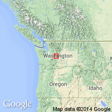
Named as lowest (of 4) member of Lakedale Drift for Bullfrog Pond, 2 km downstream from type. Type locality: Borrow pit beside south bank of Cle Elum River, NE/4 SW/4 sec.19 T20N R15E, Kittitas Co, WA. Consists of till and gravel moraines and outwash. Is from 25 to 80 m thick. Overlies Indian John Member (new) (Kittitas Drift); underlies Ronald Member (new) (Lakedale Drift). Age is Pleistocene (Fraser Glaciation, 15,000 to 13,500 yr B.P.)
Source: GNU records (USGS DDS-6; Menlo GNULEX).
For more information, please contact Nancy Stamm, Geologic Names Committee Secretary.
Asterisk (*) indicates published by U.S. Geological Survey authors.
"No current usage" (†) implies that a name has been abandoned or has fallen into disuse. Former usage and, if known, replacement name given in parentheses ( ).
Slash (/) indicates name conflicts with nomenclatural guidelines (CSN, 1933; ACSN, 1961, 1970; NACSN, 1983, 2005, 2021). May be explained within brackets ([ ]).

