The National Geologic Map Database is migrating to a new infrastructure. We apologize for any service disruptions during this process.
|
|---|


- Usage in publication:
-
- Buffalo Wallow formation*
- Modifications:
-
- Named
- Dominant lithology:
-
- Shale
- AAPG geologic province:
-
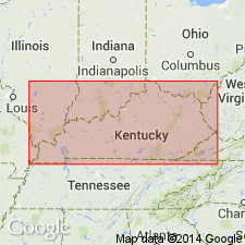
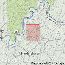
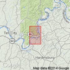
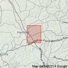
- Illinois basin
Summary:
Named Buffalo Wallow formation. "Made up primarily of soft bluish shale but includes beds of red shale, limestone, and sandstone which altogether compose a subordinate part of the mass, the thickness of which is 150 to 200 feet." Underlain by Tar Springs sandstone; unconformably overlain by Pennsylvanian Pottsville group. Adopted for use by U.S. Geological Survey in KY.
Source: GNU records (USGS DDS-6; Reston GNULEX).
- Usage in publication:
-
- Buffalo Wallow Formation*
- Modifications:
-
- Overview
- AAPG geologic province:
-
- Illinois basin
Summary:
Buffalo Wallow Formation is "Shale, limestone, sandstone: Shale is medium light gray, clayey to silty, with fissile to platy parting. Limestone is medium gray to light olive gray with greenish hue, coarse grained, organic detrital; occurs as two lenticular beds in lower part. Sandstone is medium light gray to yellowish-gray, very fine grained, silty, platy, siliceous; bedding surfaces locally stained pale red; occurs as a unit 5 to 10 feet thick in lower part." Thickness is 100+ ft. No members identified. Underlain by Tar Springs Sandstone. [One of several quadrangles containing Buffalo Wallow Formation mapped geologically by U.S. Geological Survey in KY between 1962 and 1978.]
Source: GNU records (USGS DDS-6; Reston GNULEX).
- Usage in publication:
-
- Buffalo Wallow Formation*
- Modifications:
-
- Revised
- AAPG geologic province:
-
- Illinois basin
Summary:
Vienna Limestone recognized as basal member of Buffalo Wallow Formation in west central KY. "Limestone, brown-weathering, impure, coarse-grained, fossil fragmental." Underlain by Tar Springs Sandstone.
Source: GNU records (USGS DDS-6; Reston GNULEX).
- Usage in publication:
-
- Buffalo Wallow Formation*
- Modifications:
-
- Revised
- AAPG geologic province:
-
- Illinois basin
Summary:
Vienna Limestone Member, Waltersburg Member, Menard Limestone Member, and Kincaid Limestone Member recognized in Buffalo Wallow Formation in Horton quadrangle.
Source: GNU records (USGS DDS-6; Reston GNULEX).

- Usage in publication:
-
- Buffalo Wallow Group
- Modifications:
-
- Overview
- AAPG geologic province:
-
- Illinois basin
Summary:
Current (1986) usage of Indiana Geological Survey is Buffalo Wallow Group. On surface divided into Tar Springs, Branchville, and Tobinsport Formations, ascending. In subsurface, divided into Tar Springs Formation, Vienna Limestone, Waltersburg Sandstone, Clore Limestone, Degonia Sandstone, Kincaid Limestone, and Grove Church Shale, ascending. Maximum surface thickness is 270 ft; maximum subsurface thickness is 750 ft. Confined to southern IN on surface reaches northward only to southwestern Orange Co. Overlies Glen Dean Limestone. Top eroded by pre-Pennsylvanian unconformity.
Source: GNU records (USGS DDS-6; Reston GNULEX).
For more information, please contact Nancy Stamm, Geologic Names Committee Secretary.
Asterisk (*) indicates published by U.S. Geological Survey authors.
"No current usage" (†) implies that a name has been abandoned or has fallen into disuse. Former usage and, if known, replacement name given in parentheses ( ).
Slash (/) indicates name conflicts with nomenclatural guidelines (CSN, 1933; ACSN, 1961, 1970; NACSN, 1983, 2005, 2021). May be explained within brackets ([ ]).