The National Geologic Map Database is migrating to a new infrastructure. We apologize for any service disruptions during this process.
|
|---|


- Usage in publication:
-
- Buckshot Ignimbrite
- Modifications:
-
- Areal extent
- Geochronologic dating
- AAPG geologic province:
-
- Permian basin
Summary:
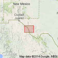
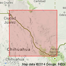
Buckshot Ignimbrite mapped as one of seven formations of Vieja Group in the Sierra Vieja area, Presidio Co, west TX in the Permian basin. Vieja Group is shown on the Correlation of Map Units as consisting of (ascending): Gill Breccia, Colmena Tuff, Buckshot Ignimbrite, Chambers Tuff, Bracks Rhyolite, Capote Mountain Tuff, and Mitchell Mesa Welded Tuff. Buckshot is rhyolitic, slightly porphyritic, vitric, contains very dark red spheres 2-10 mm in diameter; black vitrophyre at base in many places; grayish red, weathers pale to dark reddish brown; many blister cones, 6 ft high and as much as 45 ft in diameter, on upper surface. Thickness 40-75 ft; average 45 ft. Range of K-Ar ages obtained from two samples are 38.6 +/-1.2 m.y., 34.7 +/-2.0 m.y., 35.2 +/-2.3 m.y., and 36.3 +/-0.8 m.y. [Author states that correlation of volcanic rocks from area to area on Marfa sheet is uncertain--little attempt is made to correlate between areas. The rocks are described by area.] Geologic map.
Source: GNU records (USGS DDS-6; Denver GNULEX).
- Usage in publication:
-
- Buckshot Ignimbrite
- Modifications:
-
- Revised
- AAPG geologic province:
-
- Permian basin
Summary:
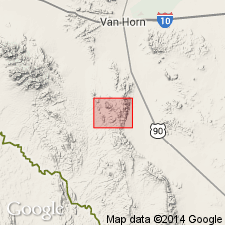
Term Vieja Group not used in report. Revised in that Buckshot underlies the newly named Hogeye Tuff in Culberson Co, TX in the Permian basin. Is the oldest volcanic unit in Van Horn Mountains and Sierra Vieja. Consists of peralkaline rhyolitic ash-flow tuff. Rock fragments and pumice less than 1 cm compose 1 or 2 percent of unit. Contains a few percent of alkali feldspar phenocrysts and 1 percent or less of green clinopyroxene. Cavities up to 5 mm across are developed in spherulites and these cavities are the source of the name "Buckshot." Several blister cones, remnants of fumaroles, developed on the upper surface during cooling, near the caldera wall. Erupted 37 to 38 m.y. ago, or Oligocene, from the Infiernito caldera about 90 km south in the Chinati Mountains area. These outcrops are the northernmost occurrence. Geologic map. Correlation chart.
Source: GNU records (USGS DDS-6; Denver GNULEX).
- Usage in publication:
-
- Buckshot Ignimbrite
- Modifications:
-
- Geochronologic dating
- AAPG geologic province:
-
- Permian basin
Summary:
Pg. 14. Buckshot Ignimbrite of Vieja Group. Two rhyolite samples (localities unknown) yielded K-Ar ages of 37.7 +/-2.0 Ma and 36.2 +/-2.3 Ma (alkali feldspar). Pg. 20. Buckshot Ignimbrite. Four rhyolite samples from the Infiernito caldera, Soldier Spring and Candelaria quadrangles, Presidio County, southwestern Texas, yielded K-Ar ages from 37.8 +/-0.8 Ma to 36.8 +/-0.8 Ma (alkali feldspar). Data from R.K. DeFord, 1958 (Texas Jour. Sci., v. 10, p. 1-37), J.A. Wilson and others, 1968 (Amer. Jour. Sci., v. 266, p. 590-604), T.W. Duex and C.D. Henry, 1981 (Univ. Texas-Austin Bur. Econ. Geol., Geol. Circ. 81-2, 14 p.), and C.D. Henry and J.G. Price, 1984 (Jour. Geophysical Res., v. 89, p. 8765-8786); ages recalculated using decay constants of Steiger and Jager, 1977 (Earth Planet. Sci. Letters, v. 36, p. 359-362). [Age considered Eocene. Eocene-Oligocene boundary 36.6 (38-34) Ma (from Geologic Names Committee, USGS, 1983 ed. geol. time scale, with additions from N.J. Snelling, 1985, The Geol. Soc. Mem., no. 10).]
Source: Publication.
For more information, please contact Nancy Stamm, Geologic Names Committee Secretary.
Asterisk (*) indicates published by U.S. Geological Survey authors.
"No current usage" (†) implies that a name has been abandoned or has fallen into disuse. Former usage and, if known, replacement name given in parentheses ( ).
Slash (/) indicates name conflicts with nomenclatural guidelines (CSN, 1933; ACSN, 1961, 1970; NACSN, 1983, 2005, 2021). May be explained within brackets ([ ]).