The National Geologic Map Database is migrating to a new infrastructure. We apologize for any service disruptions during this process.
|
|---|


- Usage in publication:
-
- Buck Hill Group
- Modifications:
-
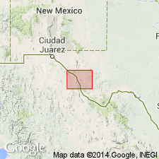
- Areal extent
- AAPG geologic province:
-
- Permian basin
Summary:
Buck Hill Group mapped in southeastern part of the Marfa sheet, Presidio Co, west TX, in Permian basin. Shown on Correlation of Map Units as consisting of (ascending): Duff and Pruett Formations (undivided) and Duff Formation, Mitchell Mesa Welded Tuff [mapped as a unit of Vieja Group in the Sierra Vieja area], and Tascotal Formation. [Author states that correlation of volcanic rocks from area to area on Marfa sheet is uncertain--little attempt is made to correlate between areas. The rocks are described by area.] Age of group ranges from Eocene to Oligocene. Geologic map.
Source: GNU records (USGS DDS-6; Denver GNULEX).
For more information, please contact Nancy Stamm, Geologic Names Committee Secretary.
Asterisk (*) indicates published by U.S. Geological Survey authors.
"No current usage" (†) implies that a name has been abandoned or has fallen into disuse. Former usage and, if known, replacement name given in parentheses ( ).
Slash (/) indicates name conflicts with nomenclatural guidelines (CSN, 1933; ACSN, 1961, 1970; NACSN, 1983, 2005, 2021). May be explained within brackets ([ ]).