- Usage in publication:
-
- Bryn Mawr gravel*
- Modifications:
-
- Original reference
- Dominant lithology:
-
- Gravel
- AAPG geologic province:
-
- Atlantic Coast basin
Summary:
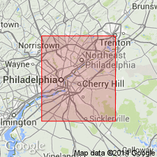
Pg. 258-272, 277-278, 288, 296-309. Bryn Mawr gravel. Oldest gravel of consequence in Philadelphia region. Readily distinguished from other gravels by peculiar materials composing it, and also by occurring at high elevations (325 to 450 feet), in often isolated patches, capping the gneissic hills. Characterized by presence of sharp or partially rounded fragments of a hard, heavy iron sandstone or conglomerate, often covered by a brownish black iron glaze. One tract of this gravel extends from Bryn Mawr to near Cooperstown. Is 10 feet thick. Is same as Mount Holly conglomerate of New Jersey. Rests on decomposed gneiss. Age is Pliocene(?).
Source: US geologic names lexicon (USGS Bull. 896, p. 282).
- Usage in publication:
-
- Bryn Mawr
- Modifications:
-
- Not used
- AAPG geologic province:
-
- Atlantic Coast basin
Summary:
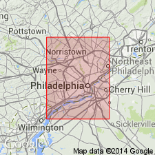
According to this report, Lafayette formation (Pliocene?) displaces "Bryn Mawr gravels. [Later work proved that at Lafayette type locality near Oxford, MS, the beds designated Lafayette are of early Eocene (Wilcox) age, and that the name had been applied to beds of Cretaceous and other ages. Lafayette formation was therefore abandoned by the USGS in 1916.]
Source: GNU records (USGS DDS-6; Reston GNULEX).
- Usage in publication:
-
- Bryn Mawr gravel*
- Modifications:
-
- Reinstated
- AAPG geologic province:
-
- Atlantic Coast basin
Summary:
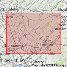
The name Brandywine formation is here restricted to the late or low-level Brandywine deposits, of probable Pleistocene age, and name Bryn Mawr gravel is revived for the high-level or early terrace gravels previously included in Brandywine formation. The deposit at Brandywine lies at the 200 to 300-ft level; the Bryn Mawr gravel of Lewis lies at the 390 to 480-ft level, and is the same formation for which Bryn Mawr gravel is here revived. Both formations were included in "Lafayette" and "Appomattox" of former reports on this region.
Source: GNU records (USGS DDS-6; Reston GNULEX).
- Usage in publication:
-
- Bryn Mawr gravel*
- Modifications:
-
- Overview
- AAPG geologic province:
-
- Atlantic Coast basin
Summary:
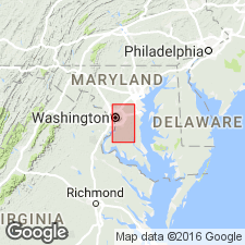
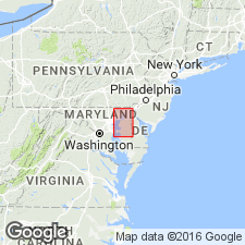
Unit described in Prince Georges Co., MD, and DC, where it consists of coarse poorly sorted pebbles in red sand and silt. Bright-red color distinguishes it from pink or yellow Brandywine formation with which it is nowhere in contact. The father inland parts lie unconformably on crystalline rocks of the Piedmont; extends eastward onto eroded surface of Patuxent formation; forms surface of ground wherever it occurs. Formation may be Miocene or older, but is here assigned to Pliocene(?).
Source: GNU records (USGS DDS-6; Reston GNULEX).
- Usage in publication:
-
- Bryn Mawr gravel*
- Modifications:
-
- Overview
- AAPG geologic province:
-
- Atlantic Coast basin
Summary:
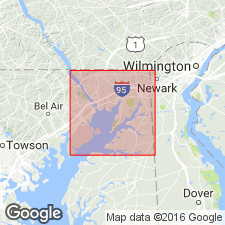
In Cecil Co., rests unconformably on Patuxent, Patapsco, and Raritan formations; locally, as at Bay View, lies on schists and intrusive rocks.
Source: GNU records (USGS DDS-6; Reston GNULEX).
- Usage in publication:
-
- Bryn Mawr
- Modifications:
-
- Not used
- AAPG geologic province:
-
- Atlantic Coast basin
Summary:
Bryn Mawr, Brandywine, and Sunderland gravels here referred to collectively as Upland Gravel (after Cleaves and others, 1968: Geologic map of MD; and Owens, 1969). Was mapped as "Gravel of High Plateau" by Darton (1939). Talbot Formation is retained as a separate unit. [This manuscript was reviewed by the GNU in 1973, but was not published until 1990. Field work for this study was done in the late 1960's. The nomenclature in this report may not reflect current usage. Upland Gravel was apparently not presented in the original manuscript as there is no record of it in the GNU files. It is considered informal at this time.]
Source: GNU records (USGS DDS-6; Reston GNULEX).
- Usage in publication:
-
- Bryn Mawr Formation
- Modifications:
-
- Age modified
- Overview
- AAPG geologic province:
-
- Atlantic Coast basin
Summary:
Bryn Mawr Formation described as a 30-m thick, mature, well-sorted, paleo-Susquehanna River braided alluvial plain sandy gravel. The three phases, separated by three unconformities, that occur within this deposit are dated by petrographic correlation with well dated units in the Salisbury Embayment. Phase 1 represents late Oligocene upper braid plain deposition and correlates downdip with the marine Old Church Formation. Phase 2 represents middle to late Miocene distal braid plain deposition equivalent to downdip marine Calvert, Choptank, and St. Marys Formations. Phase 3 represents late Miocene upper braid plain deposition correlative with downdip fluvial-deltaic Bethany and Manokin formations. Pliocene fan, terrace, and pediment deposits inset into the Bryn Mawr are informally designated the Perryville formation by Pazzaglia (1993).
Source: GNU records (USGS DDS-6; Reston GNULEX).
- Usage in publication:
-
- Bryn Mawr Formation
- Modifications:
-
- Overview
- AAPG geologic province:
-
- Atlantic Coast basin
Summary:
Miocene age is strongly suggested by correlation with the Beacon Hill Formation of NJ, the Brandywine Formation of southern MD, and the Bon Air Formation of VA. Phase 1 correlation with the Oligocene Old Church is queried.
Source: GNU records (USGS DDS-6; Reston GNULEX).
For more information, please contact Nancy Stamm, Geologic Names Committee Secretary.
Asterisk (*) indicates published by U.S. Geological Survey authors.
"No current usage" (†) implies that a name has been abandoned or has fallen into disuse. Former usage and, if known, replacement name given in parentheses ( ).
Slash (/) indicates name conflicts with nomenclatural guidelines (CSN, 1933; ACSN, 1961, 1970; NACSN, 1983, 2005, 2021). May be explained within brackets ([ ]).

