- Usage in publication:
-
- Bruggers Formation
- Modifications:
-
- Named
- Dominant lithology:
-
- Sandstone
- AAPG geologic province:
-
- Michigan basin
Summary:
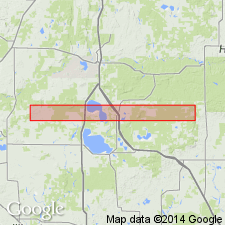
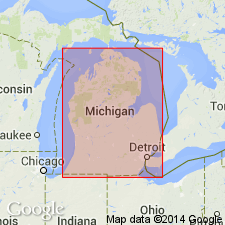
The Bruggers Formation is here named in the subsurface of the central Michigan basin. It consists of clear to white, massive, partly cross-bedded, bioturbated, clean quartz sandstone with silica cement. Porosity indicates a potential for significant gas production. Gradationally overlies the Foster Formation (new name) with the contact placed arbitrarily below the lowest thick sandstone; unconformably underlies thin, lenticular interbeds of dolostone, limestone, and sandstone which are here termed "lower Glenwood," as they underlie typical Glenwood Formation. Thickness is 1,170 ft (357 m) at type section. Age is Middle Ordovician (Whiterockian, Chazyan) based on conodonts.
Source: GNU records (USGS DDS-6; Reston GNULEX).

- Usage in publication:
-
- Bruggers†
- Modifications:
-
- Abandoned
- AAPG geologic province:
-
- Michigan basin
Summary:
Term Bruggers Formation is abandoned in favor of St. Peter Sandstone, now that sandstone in the Michigan basin has been positively identified as a correlative of the St. Peter of adjacent states. Term New Richmond Sandstone also abandoned as it has been used for identical unit.
Source: GNU records (USGS DDS-6; Reston GNULEX).
For more information, please contact Nancy Stamm, Geologic Names Committee Secretary.
Asterisk (*) indicates published by U.S. Geological Survey authors.
"No current usage" (†) implies that a name has been abandoned or has fallen into disuse. Former usage and, if known, replacement name given in parentheses ( ).
Slash (/) indicates name conflicts with nomenclatural guidelines (CSN, 1933; ACSN, 1961, 1970; NACSN, 1983, 2005, 2021). May be explained within brackets ([ ]).

