The National Geologic Map Database is migrating to a new infrastructure. We apologize for any service disruptions during this process.
|
|---|


- Usage in publication:
-
- Brown rhyolite member
- Modifications:
-
- Named
- Dominant lithology:
-
- Rhyolite
- AAPG geologic province:
-
- Permian basin
Summary:
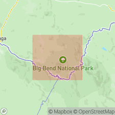
Pg. 138 (fig. 89), 139. Brown rhyolite member of South Rim Formation. Informal name applied to sequence of lava units at base of South Rim Formation. Lavas range in composition from dark plagioclase-rich rock with glassy base to a light felsite. Thickness less than 10 feet to 800 feet. Age is Oligocene or younger.
Exposed only in area of highest Chisos Mountains peaks, southwestern TX.
Source: US geologic names lexicon (USGS Bull. 1350, p. 94).
For more information, please contact Nancy Stamm, Geologic Names Committee Secretary.
Asterisk (*) indicates published by U.S. Geological Survey authors.
"No current usage" (†) implies that a name has been abandoned or has fallen into disuse. Former usage and, if known, replacement name given in parentheses ( ).
Slash (/) indicates name conflicts with nomenclatural guidelines (CSN, 1933; ACSN, 1961, 1970; NACSN, 1983, 2005, 2021). May be explained within brackets ([ ]).