The National Geologic Map Database is migrating to a new infrastructure. We apologize for any service disruptions during this process.
|
|---|


- Usage in publication:
-
- Broom Creek group
- Modifications:
-
- Original reference
- Dominant lithology:
-
- Limestone
- Sandstone
- AAPG geologic province:
-
- Chadron arch
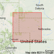
- Denver basin
Summary:
Pg. 2 (fig. 2), 5, 18, 19 (fig. 6), 21, 37, 45. Broom Creek group. Consists of interbedded limestones and sandstones. Thickness 14 to 75 feet. Comprises interval from base of Cassa group to top of Wendover group (both new); [= lower part of Division I of Hartville "formation," Condra and Reed, 1935]. Age is uncertain (Pennsylvanian or Permian).
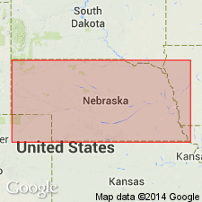
Type locality: in Broom Creek Valley, in sec. 10, T. 28 N., R. 66 W., Platte Co., eastern WY. [Extends into northeastern CO and southwestern SD.]
Source: US geologic names lexicon (USGS Bull. 1200, p. 494).
- Usage in publication:
-
- Broom Creek group
- Modifications:
-
- Revised
- Age modified
Summary:
Pg. 37, 38 (fig. 15). Broom Creek group. Stratigraphically expanded to include a few higher beds than included in original definition, placing top at an unconformity located in the overlying Cassa group. Thickness exposed on Broom Creek 85 to 101 feet. Age is Permian.
Source: US geologic names lexicon (USGS Bull. 1200, p. 494).
- Usage in publication:
-
- Broom Creek Formation
- Modifications:
-
- Revised
- AAPG geologic province:
-
- Williston basin
Summary:
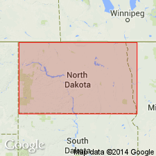
In North Dakota, in northeastern Williston basin, the Broom Creek is considered to be the uppermost formation of Minnelusa Group (revised). Described as sandstone interbedded with dolomite, and locally, with grayish-red shale; is cherty at top. Conformably [overlies] Amsden Formation, also of Minnelusa Group. Age is Permian.
Source: Modified from GNU records (USGS DDS-6; Denver GNULEX).
For more information, please contact Nancy Stamm, Geologic Names Committee Secretary.
Asterisk (*) indicates published by U.S. Geological Survey authors.
"No current usage" (†) implies that a name has been abandoned or has fallen into disuse. Former usage and, if known, replacement name given in parentheses ( ).
Slash (/) indicates name conflicts with nomenclatural guidelines (CSN, 1933; ACSN, 1961, 1970; NACSN, 1983, 2005, 2021). May be explained within brackets ([ ]).