

- Usage in publication:
-
- Brookston Till Member
- Modifications:
-
- Named
- Dominant lithology:
-
- Till
- Loam
- AAPG geologic province:
-
- Cincinnati arch
- Illinois basin
Summary:
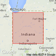
Brookston Till Member of Jessup Formation here newly defined in IN. It is the primary component of true valley fill of the Logansport Bend and Battle Ground lowland sections. Described as gray loam, except at West Lafayette where it is much siltier. Characterized by high carbonate content, high calcite/dolomite ratio, and high magnetic susceptibility. The Brookston is a single unit more than 50 ft thick in Cass Co, but splits into at least two units to the west. Resembles the Tilton Till Member of the Banner Formation in IL and the uppermost Jessup till of southwestern IN. Overlies the Blackford Member (new name). Interfingers with the Mahomet Member. Age is pre-Illinoian.
Source: GNU records (USGS DDS-6; Reston GNULEX).
For more information, please contact Nancy Stamm, Geologic Names Committee Secretary.
Asterisk (*) indicates published by U.S. Geological Survey authors.
"No current usage" (†) implies that a name has been abandoned or has fallen into disuse. Former usage and, if known, replacement name given in parentheses ( ).
Slash (/) indicates name conflicts with nomenclatural guidelines (CSN, 1933; ACSN, 1961, 1970; NACSN, 1983, 2005, 2021). May be explained within brackets ([ ]).