The National Geologic Map Database is migrating to a new infrastructure. We apologize for any service disruptions during this process.
|
|---|


- Usage in publication:
-
- Brookesmith formation
- Modifications:
-
- Original reference
- Dominant lithology:
-
- Limestone
- Shale
- AAPG geologic province:
-
- Bend arch
Summary:
Pg. 7 (fig. 2), 14. Brookesmith formation of Canyon group. Name proposed for the beds between top of Brownwood formation (formerly basal member of Graford) and base of Winchell formation [limestone?] in Colorado River Valley area, Brown County, Texas. Graford formation of Eargle (1960, USGS Prof. Paper 315-D; adopted by the USGS) not used. Includes Adams Branch limestone member below and Cedarton shale member above. Age is Pennsylvanian (Canyon age).
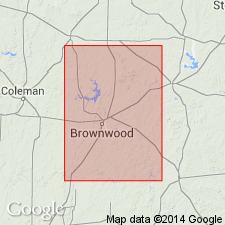
Type locality: immediate vicinity of village of Brookesmith, Brown Co., north-central TX.
Source: US geologic names lexicon (USGS Bull. 1350, p. 93); GNU records (USGS DDS-6; Denver GNULEX).
For more information, please contact Nancy Stamm, Geologic Names Committee Secretary.
Asterisk (*) indicates published by U.S. Geological Survey authors.
"No current usage" (†) implies that a name has been abandoned or has fallen into disuse. Former usage and, if known, replacement name given in parentheses ( ).
Slash (/) indicates name conflicts with nomenclatural guidelines (CSN, 1933; ACSN, 1961, 1970; NACSN, 1983, 2005, 2021). May be explained within brackets ([ ]).