- Usage in publication:
-
- Brodhead formation
- Modifications:
-
- Named
- Dominant lithology:
-
- Shale
- Siltstone
- Sandstone
- AAPG geologic province:
-
- Cincinnati arch
Summary:
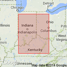
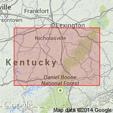
Name Brodhead formation proposed for a generalized unit in KY that lies between New Providence formation below and Floyds Knob formation above. Falls within Burlington-Keokuk range of general Mississippian column. Comprises rock equivalent to combined Locust Point and Carwood units of Borden group in IN, and includes both Rosewood shale and Holtsclaw sandstone of Butts (1915) in Jefferson Co. and much of New Providence group as described by Butts (1922, Kentucky Geol. Survey, ser. 6, v. 7) for KY. Composed mostly of silty shale, shaly siltstone, massive siltstone, and fine-grained sandstone with many variations from place to place produced by lateral transitions in facies. Thickness ranges from 135 to 270 ft. Unit is thinnest along axis of Cincinnati Arch from where it is progressively thicker both east and west. Includes following members (not in sequence): Caney Creek, Christy Creek siltstone, Clementsville limestone, Combs Mountain siltstone, Conway Cut siltstone, Culver Springs shale, Frenchburg siltstone, Ginseng siltstone, Haldeman siltstone, Indian Fort shale, Lebanon Junction siltstone, McKinney Knob, Perry Branch siltstone, and Rolling Fork limestone. Differentiated into six facies (in order of occurrence along outcrop belt around Lexington Plain from IN to OH): Holtsclaw Hill, Pilot Knob, Athertonville, Liberty, Irvine, and Morehead. Age is Early Mississippian.
Source: GNU records (USGS DDS-6; Reston GNULEX).

- Usage in publication:
-
- Brodhead Formation†
- Modifications:
-
- Abandoned
- AAPG geologic province:
-
- Appalachian basin
Summary:
Beds formerly assigned to the Brodhead Formation are here included within the Nancy, Cowbell, Halls Gap, and Nada Member of the Borden Formation. The Brodhead is not a mappable unit at its type section and is therefore abandoned.
Source: GNU records (USGS DDS-6; Reston GNULEX).
For more information, please contact Nancy Stamm, Geologic Names Committee Secretary.
Asterisk (*) indicates published by U.S. Geological Survey authors.
"No current usage" (†) implies that a name has been abandoned or has fallen into disuse. Former usage and, if known, replacement name given in parentheses ( ).
Slash (/) indicates name conflicts with nomenclatural guidelines (CSN, 1933; ACSN, 1961, 1970; NACSN, 1983, 2005, 2021). May be explained within brackets ([ ]).

