- Usage in publication:
-
- Broad Canyon Formation
- Modifications:
-
- Named
- Dominant lithology:
-
- Limestone
- Argillite
- Phyllite
- AAPG geologic province:
-
- Great Basin province
Summary:
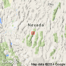
Same unit has been previously called Broad Canyon sequence (Means, 1962). Type locality designated as exposures in Broad Canyon, south of Kingston Canyon, south Lander Co, NV. Formation divided into three informal units. Lowest unit composed of interbedded limestone and argillite, with minor siltstone. Middle unit composed of dark argillite with silty bedding laminations. Top unit is gunmetal-blue phyllite. Formation is folded severely so thickness is estimated at 623 m. Conformably overlies Gold Hill Formation. Conformably underlies Antelope Valley Limestone. Age is Middle and Late Cambrian and Early Ordovician. Shown on geologic sketch map of Toiyabe Range in southern Lander Co.
Source: GNU records (USGS DDS-6; Menlo GNULEX).
For more information, please contact Nancy Stamm, Geologic Names Committee Secretary.
Asterisk (*) indicates published by U.S. Geological Survey authors.
"No current usage" (†) implies that a name has been abandoned or has fallen into disuse. Former usage and, if known, replacement name given in parentheses ( ).
Slash (/) indicates name conflicts with nomenclatural guidelines (CSN, 1933; ACSN, 1961, 1970; NACSN, 1983, 2005, 2021). May be explained within brackets ([ ]).

