- Usage in publication:
-
- Briones sandstone*
- Modifications:
-
- Original reference
- Dominant lithology:
-
- Sandstone
- Shale
- AAPG geologic province:
-
- Northern Coast Range province
- Sacramento basin
Summary:
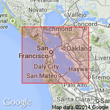
Briones sandstone of Monterey group. Prevailingly light-colored to whitish, well-washed sandstone, in some places pebbly or conglomeratic, and in general of coarser texture than lower sandstones of Monterey group, of which it is top formation. Thickness 2,300 feet. Very fossiliferous. [Fossils listed.] Includes the nonpersistent Hercules shale member. Overlies Rodeo shale and unconformably underlies San Pablo formation. [Age is late Miocene.]
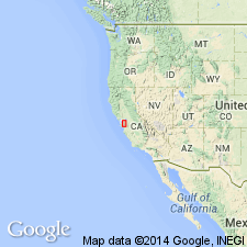
Named from exposures in Briones Hills, Concord 15-min quadrangle, Contra Costa Co., San Francisco region, western CA.
Source: Publication; US geologic names lexicon (USGS Bull. 896, p. 267).
- Usage in publication:
-
- Briones sandstone*
- Modifications:
-
- Revised
- AAPG geologic province:
-
- Northern Coast Range province
- Sacramento basin
Summary:
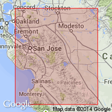
Pg. 586-614. Briones sandstone. Transferred these beds to San Pablo group. [Age is late Miocene.]
Source: US geologic names lexicon (USGS Bull. 896, p. 267).
- Usage in publication:
-
- Briones formation*
- Modifications:
-
- Redescribed
- Revised
- Age modified
- Adopted
- AAPG geologic province:
-
- Northern Coast Range province
- Sacramento basin
Summary:
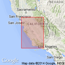
Pg. 751-770. Briones formation of San Pablo group. San Pablo group (upper Miocene) includes (descending) Neroly formation, Cierbo formation, and Briones formation. The latter formation is locally known as ASTRODAPSIS BREWERIANUS zone. It was formerly included in Monterey group, but Parker Trask (1922) showed that stratigraphically and faunally it is more closely related to overlying San Pablo group. [This is present (ca. 1936) approved definition of the USGS.]
Source: Publication; US geologic names lexicon (USGS Bull. 896, p. 267).
- Usage in publication:
-
- Briones substage
- Modifications:
-
- Revised
- AAPG geologic province:
-
- Coastal basins
- Los Angeles basin
- San Joaquin basin
Summary:
Pg. 199-200. Briones substage. The Monterey comprises three substages (ascending): Briones, Cierbo, and Neroly. Substages can be recognized strandward by distinctive echinoderm faunas and by a number of more or less distinctive mollusks. Age is late Miocene.
Source: US geologic names lexicon (USGS Bull. 1200, p. 482).
- Usage in publication:
-
- Briones sandstone*
- Modifications:
-
- Revised
- Mapped
- AAPG geologic province:
-
- Northern Coast Range province
- Sacramento basin
Summary:
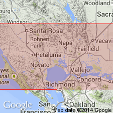
Pg. 17 (table 3), 75-78. Briones sandstone of San Pablo group. Shown on table as underlying Cierbo sandstone of San Pablo group and overlying Rodeo shale of Monterey group. Includes Hercules shale member. Age is late Miocene.
Source: US geologic names lexicon (USGS Bull. 1200, p. 482).
- Usage in publication:
-
- Briones sandstone
- Modifications:
-
- Mapped 1:62.5k
- Dominant lithology:
-
- Sandstone
- Shale
- AAPG geologic province:
-
- Northern Coast Range province
Summary:
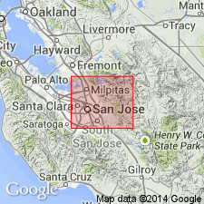
Pg. 22 (fig. 4), 39-41, pl. 1. Briones sandstone. (Cites Lawson, 1914.) Described in San Jose-Mount Hamilton area, Santa Clara and Alameda Counties, western California. Is a thick series of massive coarse-grained fossiliferous sandstones and sandy shales. Thickness 3,400 to 5,000 feet. Unit crops out almost without interruption for entire length of Tularcitos syncline; on west limb it rests on Monterey formation; on east limb rests for considerable distances on Cretaceous Berryessa formation (new). Underlies Orinda formation, slight angular unconformity; in some areas underlies Packwood gravels (new). Few poorly preserved fossils. [Age is late Miocene.]
Source: Publication; US geologic names lexicon (USGS Bull. 1200, p. 482).
- Usage in publication:
-
- Briones megafaunal "stage"
- Modifications:
-
- Revised
- AAPG geologic province:
-
- Los Angeles basin
- Ventura basin
Durham, J.W., 1954, The marine Cenozoic of southern California: California Division of Mines Bulletin, no. 170, [art. 4], p. 23-31.
Summary:
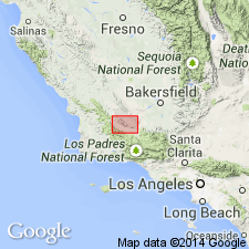
Pg. 24 (fig. 2), 25 (fig. 3), 26 (fig. 4). Listed as a Pacific Coast standard megafaunal "stage" (after Weaver and others, 1944, GSA Bull., v. 55, p. 569-598). Below Temblor and above Cierbo. Age is Miocene. [Probably correlative with late Barstovian to early Clarendonian mammalian provincial ages and middle Mohnian microfaunal stage.]
Source: Publication; US geologic names lexicon (USGS Bull. 1200, p. 482).
- Usage in publication:
-
- Briones sandstone*
- Modifications:
-
- Revised locally
- Mapped 1:24k
- Dominant lithology:
-
- Sandstone
- AAPG geologic province:
-
- Northern Coast Range province
- Sacramento basin
Summary:
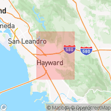
Briones sandstone. Pale yellow, thick-bedded, coarse, calcareous, and arkosic sandstone; Fragments of white rhyolitic tuff abundant in upper half. Discontinuous resistant zones of well-cemented, reef-like pebble conglomerate in middle part forms striking outcrops capping hills. Total thickness 500 to 1,500 feet. Upper part deeply eroded; disconformably underlies San Pablo formation. [In this report, the San Pablo is considered a formation. See also entry under San Pablo.] Disconformably overlies Rodeo shale of Monterey group; contact erosional. Briones sandstone as used in this report is essentially that of Lawson, although the boundaries as mapped do not everywhere agree. Fossils abundant; gastropod CALYPTRAEA sp., clams SPISULA? cf. S. ALBARIA, SPISULA? cf. S. FALCATA, CLINOCARDIUM? sp., and echinoderm ASTRODAPSIS? cf. A. BREWERIANUS. Age is late Miocene.
Source: Publication; US geologic names lexicon (USGS Bull. 1200, p. 482).
- Usage in publication:
-
- Briones formation
- Modifications:
-
- Areal extent
- Dominant lithology:
-
- Sandstone
- Claystone
- AAPG geologic province:
-
- Northern Coast Range province
- Sacramento basin
Summary:
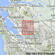
Pg. 21-25, fig. 2, geol. map. Briones formation. Crops out in northwestern corner and southern half of Pleasanton area [Alameda and Contra Costa Counties]. Thickness about 2,000 feet in northern area and 5,000 feet in southern area. Divided into three members: upper, fine-grained sandstone; middle, gray to brown conglomerate fossiliferous calcareous lithic wacke; upper, fine-grained sandstone and interbedded silty claystone. Overlies Hambre sandstone. Near Calaveras Reservoir, transgressively overlaps older Tertiary formations and rests on Niles Canyon formation (new). Underlies Leona rhyolite, Livermore gravels, and in Tularcitos syncline, Orinda formation. Age is late Miocene. [Term San Pablo group not used in this report.]
Source: US geologic names lexicon (USGS Bull. 1200, p. 482).
- Usage in publication:
-
- Briones Sandstone*
- Modifications:
-
- Revised
- AAPG geologic province:
-
- California Coast Ranges province
Summary:
Briones Sandstone is lowermost formation (of 3) of San Pablo Group. Age given as late Miocene.
Source: GNU records (USGS DDS-6; Menlo GNULEX).
For more information, please contact Nancy Stamm, Geologic Names Committee Secretary.
Asterisk (*) indicates published by U.S. Geological Survey authors.
"No current usage" (†) implies that a name has been abandoned or has fallen into disuse. Former usage and, if known, replacement name given in parentheses ( ).
Slash (/) indicates name conflicts with nomenclatural guidelines (CSN, 1933; ACSN, 1961, 1970; NACSN, 1983, 2005, 2021). May be explained within brackets ([ ]).

