- Usage in publication:
-
- Brightseat formation
- Modifications:
-
- Named
- Dominant lithology:
-
- Clay
- AAPG geologic province:
-
- Atlantic Coast basin
Summary:
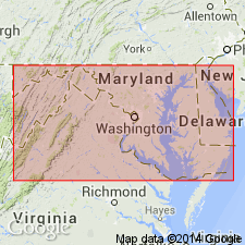
Named Brightseat formation for town of Brightseat, Prince Georges Co., MD. Unit consists of dark-gray micaceous sandy clay and is 4-8 ft thick. In subsurface of eastern MD, unit is 50-75 ft thick. Brightseat unconformably overlies Upper Cretaceous Monmouth formation, and unconformably underlies Eocene Aquia formation. Brightseat is considered to be of Paleocene age.
Source: GNU records (USGS DDS-6; Reston GNULEX).

- Usage in publication:
-
- Brightseat Formation, Member
- Modifications:
-
- Overview
- Revised
- AAPG geologic province:
-
- Atlantic Coast basin
Summary:
The lower contact of the Aquia Formation with the Brightseat is marked by a change in texture and color, as the Brightseat is composed of a greenish-gray, silty, very fine-grained glauconitic quartz sand, the median size of which is approximately half that of the Aquia sand. The base of the Aquia is also marked by a molluscan shell bed, which has been considered to indicate an unconformity by some authors. It is recommended here that the Brightseat be relegated to member status in the Aquia as field, sedimentologic, and paleontologic evidence all indicate that the Brightseat is not a distinct enough unit to be regarded as a formation.
Source: GNU records (USGS DDS-6; Reston GNULEX).

- Usage in publication:
-
- Brightseat Formation*
- Modifications:
-
- Age modified
- Biostratigraphic dating
- AAPG geologic province:
-
- Atlantic Coast basin
Summary:
Brightseat is biostratigraphically dated as early Danian in the early Paleocene as recognized by the GLOBIGERINA DAUBJERENSIS-G. TRINIDADSIS Zone. Brightseat is considered the basal formation of the Pamunkey Group and is overlain by the Aquia Formation.
Source: GNU records (USGS DDS-6; Reston GNULEX).

- Usage in publication:
-
- Brightseat Formation*
- Modifications:
-
- Overview
- AAPG geologic province:
-
- Atlantic Coast basin
Summary:
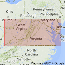
Brightseat Formation unconformably overlies the Patapsco Formation of the Potomac Group in eastern VA.
Source: GNU records (USGS DDS-6; Reston GNULEX).

- Usage in publication:
-
- Brightseat Formation
- Modifications:
-
- Overview
- AAPG geologic province:
-
- Atlantic Coast basin
Summary:
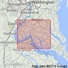
Brightseat Formation in Charles Co., MD, consists of fine, black, micaceous quartz sand to sandy silt with abundant pyrite and sparse glauconite. Phosphate clasts common. Occurs only in the subsurface of map area, but crops out on VA side of the Potomac in Aquia Creek. Thickness and distribution are not known with certainty but it is probably less than 20 ft thick beneath the eastern half of the county, composed of discontinuous lenses. Upper and lower contacts are locally burrowed. Unconformably underlies Aquia Formation; unconformably overlies Potomac Group. Deposited on shallow marine shelf. Danian (earliest Paleocene) age indicated by Ostracodes, planktonic Foraminifera, and dinoflagellates. [Nomenclature used in this report is that of the Maryland Geological Survey.]
Source: GNU records (USGS DDS-6; Reston GNULEX).

- Usage in publication:
-
- Brightseat Formation
- Modifications:
-
- Overview
- AAPG geologic province:
-
- Atlantic Coast basin
Summary:
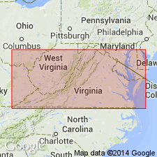
Undifferentiated Pamunkey Group, Old Church Formation, and unnamed glauconitic sands are lumped on the State map. Individual units are discussed in the accompanying text. Brightseat Formation of Pamunkey Group is described as olive-gray to olive-black, micaceous quartz sand, fine- to very fine grained, clayey and silty, variably glauconitic. Overlies Potomac Formation. Thickness ranges from 0 to 20 ft. Age is early Paleocene.
Source: GNU records (USGS DDS-6; Reston GNULEX).
For more information, please contact Nancy Stamm, Geologic Names Committee Secretary.
Asterisk (*) indicates published by U.S. Geological Survey authors.
"No current usage" (†) implies that a name has been abandoned or has fallen into disuse. Former usage and, if known, replacement name given in parentheses ( ).
Slash (/) indicates name conflicts with nomenclatural guidelines (CSN, 1933; ACSN, 1961, 1970; NACSN, 1983, 2005, 2021). May be explained within brackets ([ ]).

