- Usage in publication:
-
- [Brierfield dolomite*]
- Briarfield dolomite
- Modifications:
-
- Original reference
- Dominant lithology:
-
- Dolomite
- AAPG geologic province:
-
- Appalachian basin
Summary:
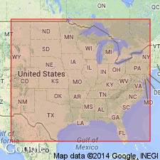
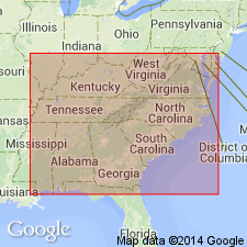
Pg. 628, 633, 634, pl. 27. Briarfield dolomite [Brierfield dolomite]. Name suggested by Charles Butts. Chiefly medium thick-bedded blue and gray siliceous dolomite, 1,250 feet thick. Well exposed in Cahaba Valley along Six-Mile Creek, 10 miles southwest of Montevallo. Not observed elsewhere. Upper 200 feet, blue dolomite; the weathered rock above the middle for 400 to 500 feet is streaked with convoluted plates of silica and weathers with drusy incrustations; except for basal part, the lower half is without chert; the basal part on weathering is marked by abundant dense residual chert. Underlies Ketona dolomite and unconformably overlies Upper Cambrian blue limestones [Conasauga limestone] and Conasauga shale [= Conasauga limestone]. Basal formation of Ozarkian system. [Late Cambrian.]
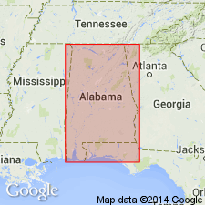
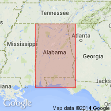
Named from exposures on Mahan Creek in vicinity of Brierfied [correct spelling], Bibb Co., northern central AL. [roll tide.]
Source: US geologic names lexicon (USGS Bull. 896, p. 265-266).

- Usage in publication:
-
- Brierfield dolomite
- Modifications:
-
- Overview
- AAPG geologic province:
-
- Appalachian basin
Summary:
CRYPTPZPPN masses are only indications of organisms present. Consequently age determination is not possible. Brierfield should be regarded as closely associated with the Ketona and should have stratigraphic position between the Nolichucky and the Copper Ridge.
Source: GNU records (USGS DDS-6; Reston GNULEX).

- Usage in publication:
-
- Brierfield Dolomite Member
- Modifications:
-
- Revised
- AAPG geologic province:
-
- Appalachian basin
Summary:
Brierfield Dolomite reduced in rank to Brierfield Dolomite Member and assigned to the Conasauga Formation in this report. Age is Cambrian.
Source: GNU records (USGS DDS-6; Reston GNULEX).

- Usage in publication:
-
- Brierfield Dolomite
- Modifications:
-
- Age modified
- Overview
Summary:
Brierfield is composed of medium-bluish-gray coarsely crystalline, thick-bedded, in part highly siliceous dolomite. Crops out in the Cahaba Valley in Shelby Co. and is 1,500 ft thick along Sixmile Creek. Age is Late Cambrian (Dresbachian).
Source: GNU records (USGS DDS-6; Reston GNULEX).
- Modifications:
-
- Age modified
GNU Staff, 1994, GNU Staff remark by C.R. Murdock. Age of the Brierfield: U.S. Geological Survey Digital Data Series, DDS-6, 1 CD-ROM., release 3
Summary:
According to GNU records (USGS DDS-6), the age of the Brierfield at one time was considered Middle Cambrian by the Alabama Geological Survey, based on the 1944 GSA correlation chart by Howell and others, and that age was adopted by the USGS in 1973. The State Survey now interprets the age as Late Cambrian (Raymond and others, 1988) and the USGS adopts this age.
Source: GNU records (USGS DDS-6; Reston GNULEX).
For more information, please contact Nancy Stamm, Geologic Names Committee Secretary.
Asterisk (*) indicates published by U.S. Geological Survey authors.
"No current usage" (†) implies that a name has been abandoned or has fallen into disuse. Former usage and, if known, replacement name given in parentheses ( ).
Slash (/) indicates name conflicts with nomenclatural guidelines (CSN, 1933; ACSN, 1961, 1970; NACSN, 1983, 2005, 2021). May be explained within brackets ([ ]).

