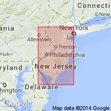
- Usage in publication:
-
- Bridgeton formation*
- Modifications:
-
- Named
- Dominant lithology:
-
- Gravel
- Sand
- Loam
- AAPG geologic province:
-
- Atlantic Coast basin
Summary:
Bridgeton formation of Columbia group, here named, is predominantly gravel, but contains both sand and loam and occasionally clay. Differs somewhat from overlying Pensauken fm [restricted] and from underlying Beacon Hill formation, though difference is not always great. Is unlike Beacon Hill in that it contains bits of ironstone. Like Beacon Hill, contains much decayed chert.
Source: GNU records (USGS DDS-6; Reston GNULEX).
For more information, please contact Nancy Stamm, Geologic Names Committee Secretary.
Asterisk (*) indicates published by U.S. Geological Survey authors.
"No current usage" (†) implies that a name has been abandoned or has fallen into disuse. Former usage and, if known, replacement name given in parentheses ( ).
Slash (/) indicates name conflicts with nomenclatural guidelines (CSN, 1933; ACSN, 1961, 1970; NACSN, 1983, 2005, 2021). May be explained within brackets ([ ]).

