The National Geologic Map Database is migrating to a new infrastructure. We apologize for any service disruptions during this process.
|
|---|


- Usage in publication:
-
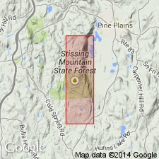
- Briarcliff dolomite
- Modifications:
-
- Named
- Dominant lithology:
-
- Dolomite
- AAPG geologic province:
-
- New England province
Summary:
Briarcliff described as dominantly light dolomites with some dark beds. Fossils indicate a horizon not earlier than middle Franconian nor later than middle Trempealeauan stage, probably early Trempealeauan. Thickness7 00 to 1,000 feet. Occurs below Halcyon Lake calc-dolomite (new name) and above White Plains formation (new name).
Source: GNU records (USGS DDS-6; Reston GNULEX).
- Usage in publication:
-
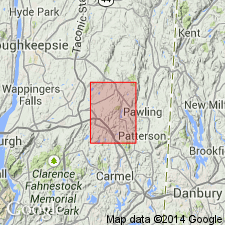
- Briarcliff Dolomite*
- Modifications:
-
- Revised
- AAPG geologic province:
-
- New England province
Summary:
Briarcliff Dolomite is here assigned to the Wappinger Group. It overlies the Pine Plains Formation and underlies the Halcyon Lake Formation, both of the Wappinger.
Source: GNU records (USGS DDS-6; Reston GNULEX).
For more information, please contact Nancy Stamm, Geologic Names Committee Secretary.
Asterisk (*) indicates published by U.S. Geological Survey authors.
"No current usage" (†) implies that a name has been abandoned or has fallen into disuse. Former usage and, if known, replacement name given in parentheses ( ).
Slash (/) indicates name conflicts with nomenclatural guidelines (CSN, 1933; ACSN, 1961, 1970; NACSN, 1983, 2005, 2021). May be explained within brackets ([ ]).