- Usage in publication:
-
- Brentwood limestone*
- Modifications:
-
- Original reference
- Dominant lithology:
-
- Limestone
Summary:
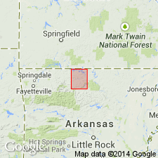
Pg. 28, 109. Brentwood limestone [unranked] in Morrow formation. Geographic name to replace non-geographic term Pentremital limestone. Sometimes occurs in single ledge, but often separated into two ledges between which intervene shales and sandstones. Overlies Washington shale and sandstone of Arkansas Geol. Survey [Hale formation] and underlies Coal-bearing shale of that Survey.
Source: US geologic names lexicon (USGS Bull. 896, p. 259).
- Usage in publication:
-
- Brentwood limestone member
- Modifications:
-
- Revised
Summary:
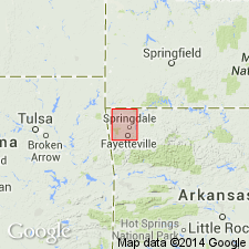
Brentwood limestone member of Bloyd shale. Is 80 feet thick, consists of thin beds of gray crystalline limestone and shale underlain by sandy shale. [This sandy shale appears not to be the same as the 6 to 10 feet of calcareous black shale which in Winslow, Eureka Springs, and Harrison quadrangles and other areas underlies the Brentwood limestone, being of same character as the black calcareous shales which occur higher up in the Bloyd shale above and Hale formation below, the Brentwood was included in the Bloyd and was defined as separated from Hale formation by the 6 to 10 feet of calcareous black shale. This is the present [ca. 1938] approved definition. (See USGS Eureka Springs-Harrison folio, no. 202, 1916, by A.H. Purdue and H.D. Miser.)]
Source: US geologic names lexicon (USGS Bull. 896, p. 259).
- Usage in publication:
-
- Brentwood limestone member
- Modifications:
-
- Revised
- Areal extent
- AAPG geologic province:
-
- Arkoma basin
Summary:
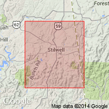
Pg. 427-430. Brentwood limestone member of Bloyd Shale. Geographically extended into Adair County, Oklahoma, where it is defined to include shale and limestone members of the Bloyd between top of Hale formation and base of Kessler member of the Bloyd. Here consists of blue-black fissile clay shale with thin discontinuous limestone beds. On Bugger Mountain, exposed part of Brentwood is 65 feet thick. Age is Pennsylvanian (Morrowan).
Source: US geologic names lexicon (USGS Bull. 1200, p. 468).
- Usage in publication:
-
- Brentwood limestone member
- Modifications:
-
- Areal extent
- AAPG geologic province:
-
- Arkoma basin
Summary:
Pg. 39. The Brentwood loses its identity in Oklahoma and becomes indistinguishable in a sequence of alternating, thin, discontinuous limestones and interbedded shale of the lower Bloyd.
Source: US geologic names lexicon (USGS Bull. 1200, p. 468).
- Usage in publication:
-
- Brentwood limestone member
- Modifications:
-
- Revised
- AAPG geologic province:
-
- Arkoma basin
Summary:
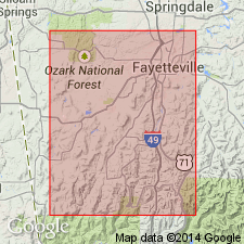
Pg. 1942-1948. Brentwood limestone member of Bloyd shale. Further described in area of type locality where it is recognizable largely by its position between Prairie Grove member (new) of Hale formation below and terrestrial sediments above that comprise newly defined Woolsey member of the Bloyd. Age is Pennsylvanian (Morrow).
Source: US geologic names lexicon (USGS Bull. 1200, p. 468).
For more information, please contact Nancy Stamm, Geologic Names Committee Secretary.
Asterisk (*) indicates published by U.S. Geological Survey authors.
"No current usage" (†) implies that a name has been abandoned or has fallen into disuse. Former usage and, if known, replacement name given in parentheses ( ).
Slash (/) indicates name conflicts with nomenclatural guidelines (CSN, 1933; ACSN, 1961, 1970; NACSN, 1983, 2005, 2021). May be explained within brackets ([ ]).

