

- Usage in publication:
-
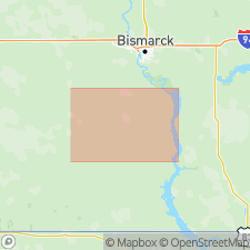
- Breien member
- Modifications:
-
- Original reference
- AAPG geologic province:
-
- Williston basin
Summary:
Pg. 14-15. Breien member of Hell Creek formation. Consists of two beds of gray sand separated by gray bentonite. Maximum thickness 31 feet. Interfingers with basal part of formation; base occurs about 20 feet above base of Hell Creek. Fossils (identified by W.A. Cobban, USGS). Age is Late Cretaceous.
Named from occurrence near village of Breien, in T. 134 N., R. 82 W., Morton Co., south-central ND.
Source: Publication; US geologic names lexicon (USGS Bull. 1200, p. 1724-1725).
For more information, please contact Nancy Stamm, Geologic Names Committee Secretary.
Asterisk (*) indicates published by U.S. Geological Survey authors.
"No current usage" (†) implies that a name has been abandoned or has fallen into disuse. Former usage and, if known, replacement name given in parentheses ( ).
Slash (/) indicates name conflicts with nomenclatural guidelines (CSN, 1933; ACSN, 1961, 1970; NACSN, 1983, 2005, 2021). May be explained within brackets ([ ]).