- Usage in publication:
-
- Breakfast Hill Granite*
- Modifications:
-
- Revised
- Age modified
- AAPG geologic province:
-
- New England province
Summary:
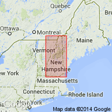
Included within Rye Complex (revised from Rye Gneiss of previous workers) and treated informally as Breakfast Hill Granite of Novotny (1964; Dissertation Abstracts, v. 24, no. 7, p. 2871). Previously also used as granite at Breakfast Hill, included in unnamed upper metavolcanic member of Rye Formation of Novotny (1969). Hussey (1980) first recognized that the "metavolcanic member" was composed of strongly deformed granitic intrusions. Consists of blastomylonitic quartz-feldspar granitic gneiss and pegmatite intrusive into Rye Complex, forming a migmatite. Age revised to Late Proterozoic(?) or Ordovician(?).
Source: GNU records (USGS DDS-6; Reston GNULEX).
For more information, please contact Nancy Stamm, Geologic Names Committee Secretary.
Asterisk (*) indicates published by U.S. Geological Survey authors.
"No current usage" (†) implies that a name has been abandoned or has fallen into disuse. Former usage and, if known, replacement name given in parentheses ( ).
Slash (/) indicates name conflicts with nomenclatural guidelines (CSN, 1933; ACSN, 1961, 1970; NACSN, 1983, 2005, 2021). May be explained within brackets ([ ]).

