

- Usage in publication:
-
- Bransford sandstone member
- Modifications:
-
- Named
- Dominant lithology:
-
- Sandstone
- AAPG geologic province:
-
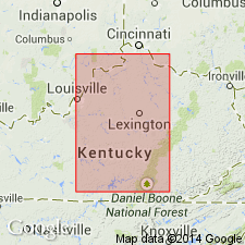
- Cincinnati arch
Summary:
Bransford sandstone member (new) described as layer of sandstone 2 to 4 in. thick at base of the Gassaway Formation (new). Overlies Dowelltown shale (new). From Nashville, extends southward with the Gassaway but without the underlying Dowelltown. Age is Late Devonian.
Source: GNU records (USGS DDS-6; Reston GNULEX).
- Usage in publication:
-
- Bransford
- Modifications:
-
- Not used
- AAPG geologic province:
-
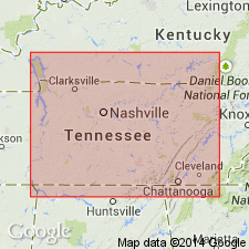
- Cincinnati arch
Summary:
Name Bransford sandstone not used in present report. Bed here is unnamed.
Source: GNU records (USGS DDS-6; Reston GNULEX).
- Usage in publication:
-
- Bransford sandstone bed*
- Modifications:
-
- Revised
- AAPG geologic province:
-
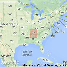
- Cincinnati arch
Summary:
Unit is revised as Bransford sandstone bed of Gassaway member of Chattanooga Formation.
Source: GNU records (USGS DDS-6; Reston GNULEX).
For more information, please contact Nancy Stamm, Geologic Names Committee Secretary.
Asterisk (*) indicates published by U.S. Geological Survey authors.
"No current usage" (†) implies that a name has been abandoned or has fallen into disuse. Former usage and, if known, replacement name given in parentheses ( ).
Slash (/) indicates name conflicts with nomenclatural guidelines (CSN, 1933; ACSN, 1961, 1970; NACSN, 1983, 2005, 2021). May be explained within brackets ([ ]).