

- Usage in publication:
-
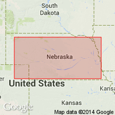
- Brady soil
- Modifications:
-
- Original reference
- AAPG geologic province:
-
- Chadron arch
Summary:
Pg. 568 (fig. 2), 570. Brady soil. Proposed for the 1.5-foot buried soil at top of Peorian loess and below Bignell loess.
Type locality: same as for Bignell loess. Bignell Hill section, southeast of North Platte, 1.7 mi due south of Bignell, southeast of North Platte, in E/2 E/2 sec. 3, T. 12 N., R. 29 W., Lincoln Co., NE.
Source: US geologic names lexicon (USGS Bull. 1200, p. 450).
For more information, please contact Nancy Stamm, Geologic Names Committee Secretary.
Asterisk (*) indicates published by U.S. Geological Survey authors.
"No current usage" (†) implies that a name has been abandoned or has fallen into disuse. Former usage and, if known, replacement name given in parentheses ( ).
Slash (/) indicates name conflicts with nomenclatural guidelines (CSN, 1933; ACSN, 1961, 1970; NACSN, 1983, 2005, 2021). May be explained within brackets ([ ]).