- Usage in publication:
-
- Boysen formation
- Modifications:
-
- Original reference
- Dominant lithology:
-
- Limestone
- Conglomerate
- Shale
- Mudstone
- AAPG geologic province:
-
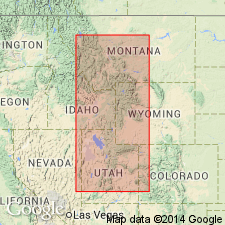
- Bighorn basin
- Wind River basin
Summary:
Pg. 1092-1096, 1101 (fig. 3), 1104. Boysen formation. Replaces name Gallatin formation. Consists of Upper Cambrian rocks in Wind River Canyon which lie between the Depass (Middle Cambrian) and Big Horn (Ordovician) formations. Rocks are massive limestones, intraformational conglomerates, and shales in basal 182 feet (Maurice member); shales, thin limestones, and thick-bedded intraformational conglomerates in overlying 308 feet (Snowy Range member); maroon and buff dolomitic shales, mudstones, and edgewise conglomerates in upper 40 feet (Grove Creek member). [Age is Dresbach to early Trempealeau based on trilobites.]
Type locality: east of Smith's Cabin, approx. 2 mi north of Boysen Dam, Fremont Co., WY.
Source: US geologic names lexicon (USGS Bull. 1200, p. 447-448); supplemental information from GNU records (USGS DDS-6; Denver GNULEX).
For more information, please contact Nancy Stamm, Geologic Names Committee Secretary.
Asterisk (*) indicates published by U.S. Geological Survey authors.
"No current usage" (†) implies that a name has been abandoned or has fallen into disuse. Former usage and, if known, replacement name given in parentheses ( ).
Slash (/) indicates name conflicts with nomenclatural guidelines (CSN, 1933; ACSN, 1961, 1970; NACSN, 1983, 2005, 2021). May be explained within brackets ([ ]).

