- Usage in publication:
-
- Boyle limestones
- Modifications:
-
- Original reference
- Dominant lithology:
-
- Limestone
- AAPG geologic province:
-
- Cincinnati arch
Summary:
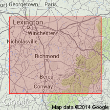
Pg. 10, 92. Boyle limestones. Devonian limestones, 0 to 47 feet thick, underlying Ohio shale and overlying Crab Orchard formation (Silurian). Includes Duffin layer at top [usually several feet thick, often appearing brecciated] and Kiddville layer at base [thin layer with fish remains], separated by thick series of limestones, in places richly fossiliferous and cherty. Equivalent of Sellersburg, Jeffersonville, and Geneva limestones of west-central Kentucky and southern Indiana.
Named from Boyle Co., central KY.
Source: US geologic names lexicon (USGS Bull. 896, p. 245); supplemental information (in brackets) from GNU records (USGS DDS-6; Reston GNULEX).
- Usage in publication:
-
- Boyle Formation*
- Modifications:
-
- Revised
- Dominant lithology:
-
- Sandstone
- Dolomite
- AAPG geologic province:
-
- Cincinnati arch
Summary:
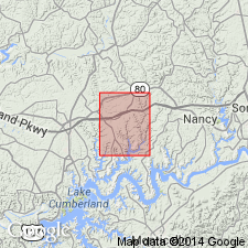
Designated Boyle Formation. Consists of pale-yellowish-gray, conglomeratic, calcareous, fair-sorted, medium- to coarse-grained sandstone that contains sharks teeth, bone fragments, and linguloid brachiopods. Sandstone is 0 to 3 feet thick. Underlain, in places, by gray to olive-gray, sandy, slightly calcareous, nearly unfossiliferous dolomite that ranges in thickness from 0 to 2 feet. Unconformably overlies Crab Orchard formation; underlies Chattanooga shale.
Source: GNU records (USGS DDS-6; Reston GNULEX).
- Usage in publication:
-
- Boyle Dolomite*
- Modifications:
-
- Redescribed
- Revised
- AAPG geologic province:
-
- Cincinnati arch
Summary:
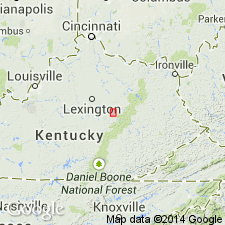
Designated Boyle Dolomite in areas near Berea and Richmond, Madison County, Kentucky.
Source: GNU records (USGS DDS-6; Reston GNULEX).
- Usage in publication:
-
- Boyle Formation*
- Modifications:
-
- Overview
- Dominant lithology:
-
- Dolomite
- Chert
- AAPG geologic province:
-
- Cincinnati arch
Summary:
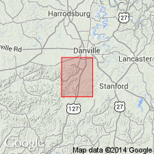
Designated Boyle Formation. "Dolomite, olive-gray to brownish-gray, fine to medium-crystalline; lower few feet contain scattered thin zones of silt to very fine sand; abundant light-olive-gray chert occurs as nodules and beds as much as 6 inches thick; rounded masses of coarsely crystalline calcite resembling geodes from 1 to 3 inches in diameter occur throughout. Locally the upper 6 to 8 feet is conglomerate composed of angular chert fragments, rounded calcite masses, and dolomite pebbles locally derived from underlying part of the Boyle Formation." Thickness ranges from 17 to 22 feet. Unconformably overlies Ashlock Formation; underlies New Albany Shale.
Source: GNU records (USGS DDS-6; Reston GNULEX).
- Usage in publication:
-
- Boyle Group
- Modifications:
-
- Revised
- AAPG geologic province:
-
- Cincinnati arch
Summary:
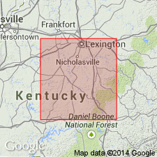
Kiddville Bed of Boyle Dolomite here referred to as a Kiddville Formation in Boyle Group. Occurs at base of Boyle and consists of tan to brown dolomite, conglomerate, and bone bed, 4.15 feet thick at type locality, of which 3.4 feet is bone bed. Maximum thickness of Kiddville is 6.6 feet. Overlies Crab Orchard Shale. Age is Middle Devonian.
Source: GNU records (USGS DDS-6; Reston GNULEX).
For more information, please contact Nancy Stamm, Geologic Names Committee Secretary.
Asterisk (*) indicates published by U.S. Geological Survey authors.
"No current usage" (†) implies that a name has been abandoned or has fallen into disuse. Former usage and, if known, replacement name given in parentheses ( ).
Slash (/) indicates name conflicts with nomenclatural guidelines (CSN, 1933; ACSN, 1961, 1970; NACSN, 1983, 2005, 2021). May be explained within brackets ([ ]).

