- Usage in publication:
-
- Bowie shale member*
- Modifications:
-
- Original reference
- Dominant lithology:
-
- Shale
- AAPG geologic province:
-
- Piceance basin
Summary:
Pg. 20, 23. Bowie shale member of Mesaverde formation. Dark-colored shale and gray shale containing marine and brackish water invertebrates; coal-bearing. Thickness 0 to 425+/- feet (absent in central part of Grand Mesa coal field). Conformably overlain by Paonia shale member of Mesaverde formation at eastern end of field; absent in central part of field; unconformably below Paonia at western end of field. Rests on Rollins sandstone member of Mesaverde. Age is Late Cretaceous [Montanan].
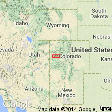
Typically exposed at Bowie, Delta Co., central western CO.
Source: US geologic names lexicon (USGS Bull. 896, p. 243).

- Usage in publication:
-
- Bowie Shale Member
- Modifications:
-
- Revised
- AAPG geologic province:
-
- Piceance basin
- Eagle basin
Summary:
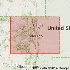
Cretaceous Mesaverde Group divided into the Iles Formation (at base) and Williams Fork Formation (at top). Mesaverde overlies and intertongues with the Mancos Shale, and underlies Ohio Creek Conglomerate. Correlation chart. Geologic map. The Iles is 890 to 1,600 ft thick and divisible into four named units--"Sego Sandstone," "Corcoran Sandstone," Cozzette Sandstone, and the "Rollins-Trout Creek Sandstone" --each one is separated from the other by unnamed interval. The Williams Fork is divided into the Bowie Shale Member, Paonia Shale Member, and the "upper Mesaverde undifferentiated." Bowie and Paonia were formerly assigned to the Mesaverde Formation. Term Bowie used for the lower 680 ft of the Williams Fork for a: 1) fresh to brackish water, coal channel sandstone, siltstone, shale; 2) marine siltstone and shale; 3) bar-beach-delta front sandstone; 4) brackish water coal; 5) nonmarine sandstone, siltstone, shale, local coal. Uppermost unit of Bowie is a sandstone. The Paonia is a nonmarine sandstone, siltstone, shale, and coal bed unit about 500 ft thick. The top of Paonia is gradational. Bowie and Paonia can be recognized in this study from T11S, Rs88 and 89W, Gunnison Co, CO, Piceance basin to as far as North Thompson Creek, T8S, Rs88 and 89W, Pitkin Co, CO, Eagle basin. The upper Mesaverde is a 2,000 to 4,000 ft thick series of "conglomeratic," siltstone, shale, and lenticular coal beds.
Source: GNU records (USGS DDS-6; Denver GNULEX).
For more information, please contact Nancy Stamm, Geologic Names Committee Secretary.
Asterisk (*) indicates published by U.S. Geological Survey authors.
"No current usage" (†) implies that a name has been abandoned or has fallen into disuse. Former usage and, if known, replacement name given in parentheses ( ).
Slash (/) indicates name conflicts with nomenclatural guidelines (CSN, 1933; ACSN, 1961, 1970; NACSN, 1983, 2005, 2021). May be explained within brackets ([ ]).

