The National Geologic Map Database is migrating to a new infrastructure. We apologize for any service disruptions during this process.
|
|---|


- Usage in publication:
-
- Bossier formation
- Modifications:
-
- Original reference
- Dominant lithology:
-
- Shale
- Sandstone
- AAPG geologic province:
-
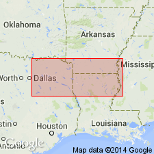
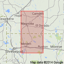
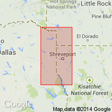
- Arkla basin
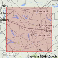
- East Texas basin
- Mid-Gulf Coast basin
Summary:
Pg. 582-594. Bossier formation of Cotton Valley group. Includes the marine dark-gray to black shale and sandstone and shoreward equivalents of these rocks beneath Schuler formation and above Buckner formation or its basinward equivalent. In type well, occurs between depths of 6,515 and 8,140 feet. Thickness varies from knife edge where it is overlapped by Schuler formation to almost 2,000 feet on flank of North Lisbon field in east-central Claiborne Parish, Louisiana. Relationship to underlying Buckner formation not clear; in some areas the Bossier rests directly on Smackover limestone. Occurs in subsurface of western Louisiana, southern Arkansas, and eastern Texas. [Age is considered Late Jurassic (middle to late Kimmeridgian).]
Type well: Phillips Petroleum Co. Kendrick No. 1, C., in NE/4 SW/4 sec. 22, T. 19 N., R. 11 W., Bossier Parish, western LA, Bellevue Field Deep Test.
Source: US geologic names lexicon (USGS Bull. 1200, p. 436).
- Usage in publication:
-
- Bossier Formation
- Modifications:
-
- Contact revised
- AAPG geologic province:
-
- Arkla basin
Summary:
Is the basal formation of 4 formations of the Upper Jurassic Cotton Valley Group in LA. Upper contact revised in that Bossier underlies the newly named Terryville Sandstone of the Cotton Valley Group in the downdip sections in northern LA. Underlies Schuler Formation of the Cotton Valley in parts of southernmost LA. Underlying unit is Haynesville Formation. Restricted to marine dark-gray to black shale and sandstone. Pinches out a few mi north of the AR-LA boundary. Thickens southward to about 2,000 ft thick. Cross sections. Late Jurassic age.
Source: GNU records (USGS DDS-6; Denver GNULEX).
- Usage in publication:
-
- Bossier Formation*
- Modifications:
-
- Reference
- Revised
- AAPG geologic province:
-
- East Texas basin
- Arkla basin
Summary:
Is the predominantly dark-gray fossiliferous calcareous marine shale of the Cotton Valley Group. As used in this report, it includes the sequence above the lower member of the Smackover Formation as used by Swain (1944). The added basal sequence is dark-gray calcareous shale similar to the Bossier. It was referred to the Buckner by Swain, marine equivalent of the Buckner by Imlay (1943), and Smackover by Arper (1953). The updip tongue of the Bossier--that tongues into the younger Schuler Formation of the Cotton Valley--called the Q tongue. Isopach map; is thickest (2,000 ft) in northern LA; thickens basinward; present in east TX, East Texas basin, and southern AR and northern LA, Arkla basin. Reference section 1,818 ft thick designated in Union Prod. Co. Section 13 Unit 1 between depths of 9,200 and 11,018 ft. Described in reference well as a dark-gray, calcareous to noncalcareous, platy to blocky shale; some beds are pyritic; some are fossiliferous. Conformably overlies Smackover Formation. The Q tongue above the upper member of Smackover is more calcareous than main Bossier, and locally has oolitic limestone. Q tongue is 0-400 ft thick, is 268 ft thick in Arkansas-Louisiana. Late Jurassic age. Stratigraphic chart, cross section.
Source: GNU records (USGS DDS-6; Denver GNULEX).
- Usage in publication:
-
- Bossier Formation
- Modifications:
-
- Contact revised
- AAPG geologic province:
-
- East Texas basin
Summary:
Lower contact revised in that Bossier Formation, basal formation of Cotton Valley Group, unconformably overlies the newly named Gilmer Limestone, upper formation of Louark Group in northeast TX, East Texas basin. Areal extent map of Gilmer. Rocks assigned to Gilmer were called "Cotton Valley limestone" or "Haynesville limestone" in earlier reports. E-log. Cross section. Correlation chart. Of Late Jurassic age.
Source: GNU records (USGS DDS-6; Denver GNULEX).
For more information, please contact Nancy Stamm, Geologic Names Committee Secretary.
Asterisk (*) indicates published by U.S. Geological Survey authors.
"No current usage" (†) implies that a name has been abandoned or has fallen into disuse. Former usage and, if known, replacement name given in parentheses ( ).
Slash (/) indicates name conflicts with nomenclatural guidelines (CSN, 1933; ACSN, 1961, 1970; NACSN, 1983, 2005, 2021). May be explained within brackets ([ ]).