The National Geologic Map Database is migrating to a new infrastructure. We apologize for any service disruptions during this process.
|
|---|


- Usage in publication:
-
- Bofecillos Group
- Modifications:
-
- First used
- AAPG geologic province:
-
- Permian basin
Summary:
Pg. 17, 25-26. Bofecillos Group. Comprises (ascending) Chisos Formation, Mitchell Mesa Ash-flow Tuff, Fresno Formation, Santana Ash-flow Tuff, and Rawls Basalt. Age is Eocene to Oligocene or younger.
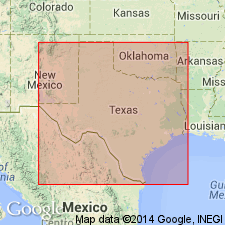
Present in Bofecillos Mountains, southwestern Texas.
Source: US geologic names lexicon (USGS Bull. 1350, p. 81).
For more information, please contact Nancy Stamm, Geologic Names Committee Secretary.
Asterisk (*) indicates published by U.S. Geological Survey authors.
"No current usage" (†) implies that a name has been abandoned or has fallen into disuse. Former usage and, if known, replacement name given in parentheses ( ).
Slash (/) indicates name conflicts with nomenclatural guidelines (CSN, 1933; ACSN, 1961, 1970; NACSN, 1983, 2005, 2021). May be explained within brackets ([ ]).