- Usage in publication:
-
- Blufftown marl
- Modifications:
-
- Named
- Dominant lithology:
-
- Marl
- Clay
- Sand
- AAPG geologic province:
-
- South Georgia sedimentary province
Summary:
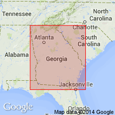
Blufftown marl named for exposures at Blufftown, Stewart Co., GA, and assigned to base of Ripley formation. Consists of black lignitic clays, gray calcareous and argillaceous sand, and thin layers of nodular calcareous rock. Thickness is 200 ft. Underlies Cusseta sand. Overlies Eutaw formation. Below Florence, Stewart Co., unit probably merges with the younger Renfroes marl.
Source: GNU records (USGS DDS-6; Reston GNULEX).

- Usage in publication:
-
- Blufftown marl†
- Modifications:
-
- Abandoned
- AAPG geologic province:
-
- South Georgia sedimentary province
Summary:
According to later studies of J.O. Veatch and L.W. Stephenson, the lower part of Blufftown marl was considered to belong to Tombigbee sand member of Eutaw formation and upper part to Ripley formation, and the name Blufftown was discarded. (See Georgia Geol. Survey Bull., no. 26, p. 135, 152, 1911, and USGS Water Supply Paper 341, p. 65, 1915. See also under Cusseta sand member.) The "Blufftown" is now considered to be = Tombigbee sand member only.
Source: US geologic names lexicon (USGS Bull. 896, p. 224).
- Usage in publication:
-
- Blufftown formation*
- Modifications:
-
- Reinstated
- Areal extent
- AAPG geologic province:
-
- Mid-Gulf Coast basin
Summary:
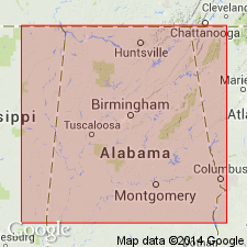
Blufftown is reinstated and formation is extended into AL. Unit grades westward into lower part of Selma chalk. As defined here, Blufftown includes additional beds below the marl (as originally defined) that were correlated with upper part of Eutaw formation by Veatch and with "typical beds of Eutaw" by Stephenson (1911, Georgia Geologic Survey Bull. 26). These beds consist of irregularly bedded sands and clays, in part lignitic, and at their base are coarse pebbly sands and sandstones. Unconformably underlies Cusseta formation, which overlaps it toward northeast in GA.
Source: GNU records (USGS DDS-6; Reston GNULEX).
- Usage in publication:
-
- Blufftown formation*
- Modifications:
-
- Revised
- AAPG geologic province:
-
- Mid-Gulf Coast basin
Summary:
Blufftown formation of Selma group. In eastern Alabama, grades laterally into Mooreville chalk and basal part of Demopolis chalk. Intertonguing relationships discussed in detail. Overlain by Cusseta member of Ripley formation. Included in [Selma] group. [Age is Late Cretaceous.]
Source: US geologic names lexicon (USGS Bull. 1200, p. 406-407).
- Usage in publication:
-
- Blufftown formation*
- Modifications:
-
- Areal extent
- AAPG geologic province:
-
- South Georgia sedimentary province
Summary:
Pg. 32-43, pls. 1, 2. Blufftown formation of Selma group. Described in Georgia where, in Chattahoochee River Valley, it consists of basal unit of cross-bedded coarse sand, about 150 feet thick, overlain by laminated more or less sandy carbonaceous highly micaceous fossiliferous clay, about 260 feet thick. Toward the east, upper clay member grades rapidly laterally into unfossiliferous coarse sand that is difficult to distinguish either from basal sand member or overlying Cusseta sand. Historical summary of usage of name. [Age is Late Cretaceous.]
Source: US geologic names lexicon (USGS Bull. 1200, p. 406-407).
- Usage in publication:
-
- Blufftown formation*
- Modifications:
-
- Areal extent
- AAPG geologic province:
-
- South Georgia sedimentary province
- Mid-Gulf Coast basin
- South GA-North FL sedimentary province
Summary:
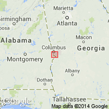
Blufftown formation extended to Chattahoochee River region (Muscogee and Chattahoochee Cos., GA, and Russell Co., AL).
Source: GNU records (USGS DDS-6; Reston GNULEX).
- Usage in publication:
-
- Blufftown Formation*
- Modifications:
-
- Biostratigraphic dating
- AAPG geologic province:
-
- South Georgia sedimentary province
Summary:
Blufftown Formation shown as Late Cretaceous (Campanian) in fig. 1. Early and late Campanian age based on CRASSATELLA CAROLINENSIS, CRASSATELLA HODGEI, SCAMBULA PERPLANA collected from Stewart Co., western GA.
Source: GNU records (USGS DDS-6; Reston GNULEX).
- Usage in publication:
-
- Blufftown Formation*
- Modifications:
-
- Overview
- Age modified
- AAPG geologic province:
-
- South Georgia sedimentary province
Summary:
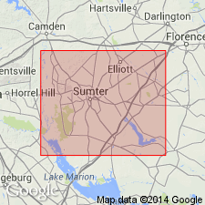
Figure 4 of report shows Blufftown Formation correlating with Tar Heel Formation of NC and SC and assignment to Austinian and Tayloran provincial stages.
Source: GNU records (USGS DDS-6; Reston GNULEX).
For more information, please contact Nancy Stamm, Geologic Names Committee Secretary.
Asterisk (*) indicates published by U.S. Geological Survey authors.
"No current usage" (†) implies that a name has been abandoned or has fallen into disuse. Former usage and, if known, replacement name given in parentheses ( ).
Slash (/) indicates name conflicts with nomenclatural guidelines (CSN, 1933; ACSN, 1961, 1970; NACSN, 1983, 2005, 2021). May be explained within brackets ([ ]).

