

- Usage in publication:
-
- Bluff bed
- Modifications:
-
- Original reference
- AAPG geologic province:
-
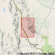
- Permian basin
Summary:
Pg. 727, 736. Bluff bed. Consists of (descending): (1) CAPROTINA limestone (third horizon) with MONOPLEURA; (2) massive foraminiferal limestone, 40 to 100 feet thick; (3) alternating bands of sandstone and siliceous shell brecciate limestone, 65 feet thick, with last EXOGYRA TEXANA horizon 15 feet above base. Underlies Quitman bed and overlies Yucca bed; all included in Washita division. [Age is Early Cretaceous (Comanche).]
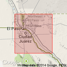
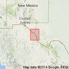
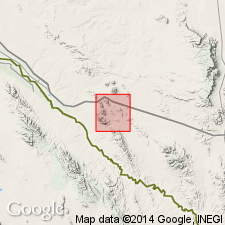
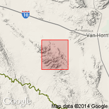
[Named from Bluff Mesa, El Paso Co., southwestern TX.]
Source: US geologic names lexicon (USGS Bull. 896, p. 222-223).
- Usage in publication:
-
- Bluff bed
- Modifications:
-
- Not used
- AAPG geologic province:
-
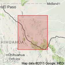
- Permian basin
Summary:
Pg. 21. Mountain bed of Taff belongs to Cox sandstone; his Bluff bed and Quitman bed belong to overlying Finlay limestone. All included in Trinity group. [On p. 25 is statement that Bluff Mesa is capped by basal Finlay limestone, 200 feet thick.]
Source: US geologic names lexicon (USGS Bull. 896, p. 222-223).
- Usage in publication:
-
- Bluff formation
- Modifications:
-
- Revised
- AAPG geologic province:
-
- Permian basin
Summary:
Pg. 992 (fig. 2), 1000-1003. Bluff formation [in Trinity group] described in northern Quitman Mountains, where it is 1,500 to 1,800 feet thick. Underlies Cox formation; overlies Yucca formation. Both Bluff and Finlay formations have been called Finlay by Baker (1927). Taff (1891) divided rocks in Quitman Gap into Mountain bed and Quitman bed. Mountain bed is equivalent to Yucca formation; Quitman bed is equivalent to lower part of Bluff formation. [Age is Early Cretaceous (Comanche).]
Source: US geologic names lexicon (USGS Bull. 1200, p. 402-403).
- Usage in publication:
-
- Bluff bed
- Bluff formation
- Modifications:
-
- Abandoned
- AAPG geologic province:
-
- Permian basin
Summary:
Pg. 16-21. Bluff beds (also Bluff formation) in Trinity group preoccupied. Replaced with Bluff Mesa formation. [See Bluff Mesa.]
Source: US geologic names lexicon (USGS Bull. 1200, p. 402-403).
- Usage in publication:
-
- Bluff formation
- Modifications:
-
- Areal extent
- Dominant lithology:
-
- Limestone
- Sandstone
- AAPG geologic province:
-
- Permian basin
Summary:
Bluff formation of Trinity group. Described in Pinto Canyon area, Presidio County, western Texas, where it consists of 200 feet of very light gray thick-bedded limestone overlain by 450 feet of dark-gray nodular ORBITOLINA-bearing limestone interbedded with light-colored cross-bedded sandstone. Overlies Yucca formation; underlies Cox formation. [Age is Early Cretaceous (Comanche).]
Source: US geologic names lexicon (USGS Bull. 1200, p. 402-403).
- Usage in publication:
-
- Bluff limestone
- Modifications:
-
- Areal extent
- AAPG geologic province:
-
- Permian basin
Summary:
Pg. 291. Bluff limestone underlies Tarantula gravel (new). [Age is Early Cretaceous (Comanche).]
Source: US geologic names lexicon (USGS Bull. 1200, p. 402-403).
For more information, please contact Nancy Stamm, Geologic Names Committee Secretary.
Asterisk (*) indicates published by U.S. Geological Survey authors.
"No current usage" (†) implies that a name has been abandoned or has fallen into disuse. Former usage and, if known, replacement name given in parentheses ( ).
Slash (/) indicates name conflicts with nomenclatural guidelines (CSN, 1933; ACSN, 1961, 1970; NACSN, 1983, 2005, 2021). May be explained within brackets ([ ]).