- Usage in publication:
-
- Bluestone Mine Tuff
- Modifications:
-
- Named
- Dominant lithology:
-
- Tuff
- Sandstone
- Siltstone
- AAPG geologic province:
-
- Great Basin province
Summary:
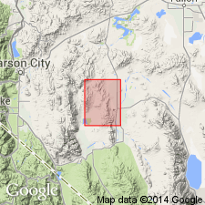
Type area: exposures east of Bluestone Mine, NW/4 sec. 32, NE/4 sec. 31, SE/4 sec. 30, and SW/4 sec. 29, T. 13 N., R. 25 E., Singate Range, Lyon Co, NV. Consists of white to pale-buff rhyolitic vitric tuff-breccia interbedded with tuff and rhyolitic sandstone and siltstone. Is unwelded to poorly welded, crystal-poor, devitrified; easily eroded, except for two well-lithified ash-flow tuffs which form ridges. Overlies Singatse Tuff with erosional unconformity; underlies unnamed Oligocene tuff and breccia of Gallagher Pass with erosional unconformity. Is Oligocene age.
Source: GNU records (USGS DDS-6; Menlo GNULEX).
For more information, please contact Nancy Stamm, Geologic Names Committee Secretary.
Asterisk (*) indicates published by U.S. Geological Survey authors.
"No current usage" (†) implies that a name has been abandoned or has fallen into disuse. Former usage and, if known, replacement name given in parentheses ( ).
Slash (/) indicates name conflicts with nomenclatural guidelines (CSN, 1933; ACSN, 1961, 1970; NACSN, 1983, 2005, 2021). May be explained within brackets ([ ]).

