

- Usage in publication:
-
- Bluepoint limestone*
- Modifications:
-
- Original reference
- Biostratigraphic dating
- Dominant lithology:
-
- Limestone
- AAPG geologic province:
-
- Great Basin province
Summary:
Pg. 46; C.R. Longwell, 1928, USGS Bull. 798. Bluepoint limestone. Dark-gray to nearly black heavy-bedded limestone, with finely granular or dense texture is common rock; heavy beds of lighter gray are not uncommon; gray chert in layers or nodules at some horizons, but less abundant than in underlying Rogers Spring limestone, and contains larger percentage of very dark, extremely carbonaceous rock and less coarse granular limestone than the Rogers Spring. Thickness 900+/- feet. Neither top nor bottom accurately located. Underlies Callville limestone with probable unconformity and there must be unconformity at base but writer failed to detect it. G.H. Girty says fossils are of Brazer age. [Late Mississippian.]
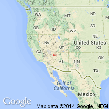
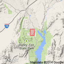
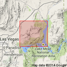
Named from exposures on [Blue Point, in SW/4 SW/4 sec. 6, T. 18 S., R. 68 E., Overton Beach 15-min quadrangle, Clark Co.], Muddy Mountains, southeastern NV.
Source: US geologic names lexicon (USGS Bull. 896, p. 221).
- Usage in publication:
-
- Bluepoint Limestone*
- Modifications:
-
- Revised
- AAPG geologic province:
-
- Great Basin province
Summary:
Bluepoint limestone has been recognized only at the type locality at the eastern end of the Muddy Mountains, and neither top nor bottom was accurately located. The fauna of the Bluepoint Limestone is similar to the described from the Indian Springs Member of the Bird Spring Formation (Longwell and Dunbar, 1936), and beds of Late Mississippian age are present in the Meadow Valley Mountains (southern Lincoln Co, NV), therefore the authors include the Bluepoint Limestone (Longwell, 1928) in the basal part of the Callville Limestone [=Bird Spring Formation].
Source: GNU records (USGS DDS-6; Menlo GNULEX).
- Usage in publication:
-
- Bluepoint Limestone
- Modifications:
-
- Not used
- AAPG geologic province:
-
- Great Basin province
Summary:
These rocks were called Callville Limestone by Longwell and others (1965). Rocks mapped by Longwell (1921,[1928?]) as Bluepoint Limestone were included in Bird Spring Formation of this report. [USGS adopted age for Bluepoint Limestone is Late Mississippian; inclusion into Bird Spring Formation creates a problem, as age of Bird Spring for the study area is Pennsylvanian and Early Permian].
Source: GNU records (USGS DDS-6; Menlo GNULEX).
For more information, please contact Nancy Stamm, Geologic Names Committee Secretary.
Asterisk (*) indicates published by U.S. Geological Survey authors.
"No current usage" (†) implies that a name has been abandoned or has fallen into disuse. Former usage and, if known, replacement name given in parentheses ( ).
Slash (/) indicates name conflicts with nomenclatural guidelines (CSN, 1933; ACSN, 1961, 1970; NACSN, 1983, 2005, 2021). May be explained within brackets ([ ]).