

- Usage in publication:
-
- Blue Springs schist
- Modifications:
-
- Principal reference
- Dominant lithology:
-
- Schist
- Slate
- Siltstone
- AAPG geologic province:
-
- Southwestern Basin-and-Range region
Summary:
Pg. 1130-1133, pl. 1. Blue Springs schist. Massive and brittle beds of red and gray slates and siltstones characterize basal parts of Blue Springs schist. Central parts largely green, sericitic schists in which some zones are predominently contorted and crenulated. Schistose beds intercalated with more massive slates and arenaceous siltstones. Many beds spotted with biotite and blebs of granulated, white quartz. Near top of formation are beds of dense red and gray arenaceous slates, which become increasingly schistose as overlying White Ridge quartzite is approached. Thickness ranges from about 300 feet, between Abo Pass and Highway 60, to nearly 4,000 feet in vicinity of Sierra Montosa, central New Mexico. Age is Precambrian.
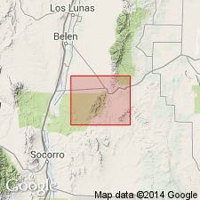
Named from exposures at Blue Springs, a large seepage area where water
issues from Blue Springs schist, north of Highway 60 on western flank
of Los Pinos Mountains, [northeastern Socorro Co.], central NM.
Source: US geologic names lexicon (USGS Bull. 1200, p. 400-401).
For more information, please contact Nancy Stamm, Geologic Names Committee Secretary.
Asterisk (*) indicates published by U.S. Geological Survey authors.
"No current usage" (†) implies that a name has been abandoned or has fallen into disuse. Former usage and, if known, replacement name given in parentheses ( ).
Slash (/) indicates name conflicts with nomenclatural guidelines (CSN, 1933; ACSN, 1961, 1970; NACSN, 1983, 2005, 2021). May be explained within brackets ([ ]).