The National Geologic Map Database is migrating to a new infrastructure. We apologize for any service disruptions during this process.
|
|---|


- Usage in publication:
-
- Blue Draw Metagabbro
- Modifications:
-
- Age modified
- AAPG geologic province:
-
- Midcontinent region
Summary:
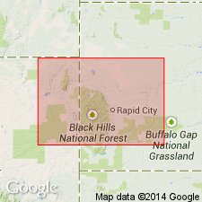
Is a 3,000 ft thick, layered, gravity-differentiated, and metamorphosed sill that intrudes Early Proterozoic Boxelder Creek Formation in the Nemo area, Lawrence Co SD in the Midcontinent region. Is unconformably overlain by Early Proterozoic Estes Formation. Assigned to Early Proterozoic. Preliminary U-Th-Pb zircon yield date of 2.2 Ga on the formation. Mapped with gabbro units on geologic map.
Source: GNU records (USGS DDS-6; Denver GNULEX).
- Usage in publication:
-
- Blue Draw Metagabbro*
- Modifications:
-
- Geochronologic dating
- AAPG geologic province:
-
- Midcontinent region
Summary:
(advance copy). U-Pb age of 2,170 +/-120 Ma (Early Proterozoic) determined on zircon. Unit occurs in Nemo area of Black Hills (Midcontinent region).
Source: GNU records (USGS DDS-6; Denver GNULEX).
For more information, please contact Nancy Stamm, Geologic Names Committee Secretary.
Asterisk (*) indicates published by U.S. Geological Survey authors.
"No current usage" (†) implies that a name has been abandoned or has fallen into disuse. Former usage and, if known, replacement name given in parentheses ( ).
Slash (/) indicates name conflicts with nomenclatural guidelines (CSN, 1933; ACSN, 1961, 1970; NACSN, 1983, 2005, 2021). May be explained within brackets ([ ]).