The National Geologic Map Database is migrating to a new infrastructure. We apologize for any service disruptions during this process.
|
|---|


- Usage in publication:
-
- Blackwood Creek Formation*
- Modifications:
-
- Named
- Biostratigraphic dating
- Dominant lithology:
-
- Limestone
- AAPG geologic province:
-
- Sierra Nevada province
Summary:
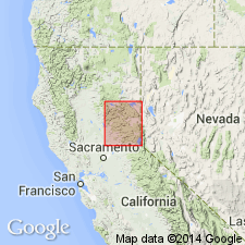
Named for Blackwood Creek. Type locality designated as exposures in and adjacent to upper reaches of Blackwood Creek, sec.9 T14N R16E, Homewood 7.5' quad [Placer Co, CA]. Is part of Lake Tahoe sequence. Composed of metamorphosed gray sandy limestone and black pelite beds. Is about 750 m thick in Blackwood Creek (base not exposed); about 600 m thick in Rubicon River canyon. Is in fault or unconformable contact with underlying Picayune Valley Peak Formation (new); gradationally overlain by Ellis Peak Formation (new). Age is tentatively regarded as Early Jurassic based on fossils (ammonites, identified by N.J. Silberling) and stratigraphic relations.
Source: GNU records (USGS DDS-6; Menlo GNULEX).
For more information, please contact Nancy Stamm, Geologic Names Committee Secretary.
Asterisk (*) indicates published by U.S. Geological Survey authors.
"No current usage" (†) implies that a name has been abandoned or has fallen into disuse. Former usage and, if known, replacement name given in parentheses ( ).
Slash (/) indicates name conflicts with nomenclatural guidelines (CSN, 1933; ACSN, 1961, 1970; NACSN, 1983, 2005, 2021). May be explained within brackets ([ ]).