

- Usage in publication:
-
- Blackfoot series*
- [Blackfoot formation*]
- Modifications:
-
- Original reference
- Dominant lithology:
-
- Limestone
- Shale
- AAPG geologic province:
-
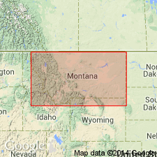
- Northern Rocky Mountain region
Summary:
Pg. 5, 9, 11. Blackfoot series; [Blackfoot formation]. Middle subdivision of Algonkian in Camp Creek and Swan Range sections of Mission Range, central western Montana. In Camp Creek section [Ovando quadrangle, Powell County] consists of (descending): calcareo-arenaceous beds, 155 feet; shaly limestones, 1,310 feet; calcareo-arenaceous shales, 155 feet; thin-bedded limestone, 815 feet; shaly and thin-bedded limestone 520 feet; siliceous limestone, 1,850 feet. Underlies Camp Creek series and overlies Ravalli series [Ravalli group].
[Named for exposures in canyon of North Fork of Blackfoot River, central western MT, where entire section is exposed. Is correlated with Wallace formation.]
Source: US geologic names lexicon (USGS Bull. 896, p. 201).
For more information, please contact Nancy Stamm, Geologic Names Committee Secretary.
Asterisk (*) indicates published by U.S. Geological Survey authors.
"No current usage" (†) implies that a name has been abandoned or has fallen into disuse. Former usage and, if known, replacement name given in parentheses ( ).
Slash (/) indicates name conflicts with nomenclatural guidelines (CSN, 1933; ACSN, 1961, 1970; NACSN, 1983, 2005, 2021). May be explained within brackets ([ ]).