

- Usage in publication:
-
- Black Point basalt*
- Modifications:
-
- Named
- Dominant lithology:
-
- Basalt
- Volcanics
- AAPG geologic province:
-
- Alaska Peninsula province
- Alaska Southwestern region
Summary:
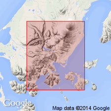
[Named for Black Point in west-central part of Port Moller 1:250,000 quad, southwest AK.] [no type designated] Occurs as large domical hill near Black Point, at tidewater in Long John Lagoon about 15 mi to southwest, and along beach at Chinaman Lagoon about 5 mi to north-northeast. Composed of dark reddish-brown, dense, even-textured rock. [Unconformably] overlain by alluvium; base is covered. Age given as Quaternary based on regional relations.
Source: GNU records (USGS DDS-6; Menlo GNULEX).
For more information, please contact Nancy Stamm, Geologic Names Committee Secretary.
Asterisk (*) indicates published by U.S. Geological Survey authors.
"No current usage" (†) implies that a name has been abandoned or has fallen into disuse. Former usage and, if known, replacement name given in parentheses ( ).
Slash (/) indicates name conflicts with nomenclatural guidelines (CSN, 1933; ACSN, 1961, 1970; NACSN, 1983, 2005, 2021). May be explained within brackets ([ ]).