- Usage in publication:
-
- Black Mountain volcanics
- Modifications:
-
- Named
- Dominant lithology:
-
- Conglomerate
- Quartzite
- Shale
- Volcaniclastics
- AAPG geologic province:
-
- Peninsular Ranges province
Summary:
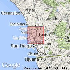
Named from Black Mountain in northern part of La Jolla quadrangle, San Diego County, California, where unit is well developed. Distribution shown on geologic map of quadrangle. Consists of massive conglomerates, quartzites, shales, massive andesitic agglomerates, trachytic and andesitic flows, and tuffs. Total thickness is not known, but is more than 2000 feet. Is oldest exposed unit in La Jolla quadrangle. Rests on intrusive rocks; nowhere is basement exposed. Unconformably underlies Eocene sedimentary rocks. Contains no fossils. Age is probably Late Triassic or Jurassic, based on stratigraphic relations.
Source: GNU records (USGS DDS-6; Menlo GNULEX).

- Usage in publication:
-
- Black Mountain volcanics†
- Modifications:
-
- Abandoned
- AAPG geologic province:
-
- Peninsular Ranges province
Summary:
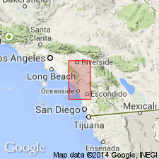
Black Mountain volcanics of Hanna (1926) is renamed Santiago Peak volcanics because name Black Mountain is used for basalt of Pliocene or Pleistocene age in northern California.
Source: GNU records (USGS DDS-6; Menlo GNULEX).
For more information, please contact Nancy Stamm, Geologic Names Committee Secretary.
Asterisk (*) indicates published by U.S. Geological Survey authors.
"No current usage" (†) implies that a name has been abandoned or has fallen into disuse. Former usage and, if known, replacement name given in parentheses ( ).
Slash (/) indicates name conflicts with nomenclatural guidelines (CSN, 1933; ACSN, 1961, 1970; NACSN, 1983, 2005, 2021). May be explained within brackets ([ ]).

