- Usage in publication:
-
- Black Mingo shales
- Modifications:
-
- Named
- Dominant lithology:
-
- Shale
- Sand
- Marl
- AAPG geologic province:
-
- Atlantic Coast basin
Summary:
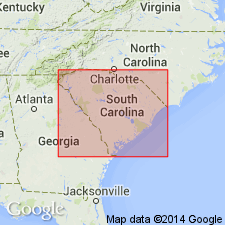
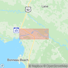
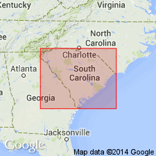
Named for Black Mingo Creek, Clarendon Co., SC. No type locality given. Occurs along Black Creek River from Brewington Lake to mouth of Black Mingo Creek, up which it is exposed to a point between Rhems and General Marion Bridge. Consists of laminated shales separated by thin layers of very fine micaceous sands; partly silicified; contains thin layer of marl. Underlies Congaree shales; overlies Burches Ferry marl. Age is early Eocene.
Source: GNU records (USGS DDS-6; Reston GNULEX).
- Usage in publication:
-
- Black Mingo phase
- Modifications:
-
- Revised
- Areal extent
- AAPG geologic province:
-
- Atlantic Coast basin
Summary:
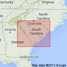
Revised as Black Mingo phase. Divided into (descending order): Lang Syne beds, Upper Black Mingo (including Williamsburg pseudobuhr and Rhems shale, here named) and Lower or Black Mingo shale. Includes all strata of early Eocene age east of Santee River, SC.
Source: GNU records (USGS DDS-6; Reston GNULEX).
- Usage in publication:
-
- Black Mingo formation*
- Modifications:
-
- Revised
- Areal extent
- AAPG geologic province:
-
- Atlantic Coast basin
Summary:
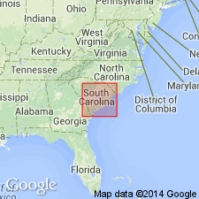
Revised as Black Mingo formation to replace Sloan's (1908) Black Mingo phase. Extended to include all Eocene strata in South Carolina older than the McBean formation. Abandons Williamsburg pseudobuhr, Rhems shale, Upper Black Mingo, Lower Black Mingo, and Lang Syne beds, all part of the phase. [Correlation chart in this report shows correlation of Black Mingo with Tuscahoma sand, but text (p. 42) states that species COELOHELIA WAGNERIA Vaughan and HAIMESIASTRAEA CONFERTA Vaughan occur in Black Mingo (known before only in Midway and Wilcox groups of Alabama) as does OSTREA ARROSIS Aldrich (known only to be in Nanafalia formation of Wilcox group. Text makes no mention of correlation with Tuscahoma.]
Source: GNU records (USGS DDS-6; Reston GNULEX).
- Usage in publication:
-
- Black Mingo formation*
- Modifications:
-
- Age modified
- Revised
- AAPG geologic province:
-
- Atlantic Coast basin
Summary:
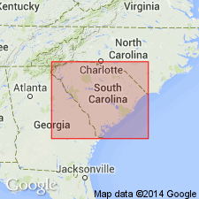
Beds mapped by C.W. Cooke (1936) as Black Creek (Cretaceous) in western Sumter Co. now regarded as Black Mingo and are restricted to the siliceous clay-shale and oyster-bearing bed. Overlying sands in Richland, Lee, Sumter, Clarendon, and Williamsburg Cos. mapped as Black Mingo are reassigned to Congaree formation of early Claiborne age. Beds in the Warley Hill section mapped as McBean by Cooke (1936) may have beds as early as Paleocene, even as here restricted. [Paleocene was not a well-used age term at this time.] More definite evidence of Paleocene age needed for formal subdivision of the Black Mingo into Eocene and Paleocene parts.
Source: GNU records (USGS DDS-6; Reston GNULEX).

- Usage in publication:
-
- Black Mingo Formation*
- Modifications:
-
- Age modified
- Biostratigraphic dating
- AAPG geologic province:
-
- Atlantic Coast basin
Summary:
Ostracodes from the Paleocene (Danian) Brightseat Formation in Maryland were also found in the Black Mingo Formation, thus proving a Paleocene (Danian) age for the lower part of the Black Mingo Formation.
Source: GNU records (USGS DDS-6; Reston GNULEX).
- Usage in publication:
-
- Black Mingo Formation
- Modifications:
-
- Areal extent
- AAPG geologic province:
-
- Atlantic Coast basin
Summary:
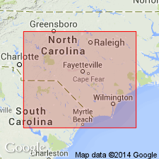
Black Mingo Formation contact with Peedee Formation seen in exposure at West Landing, Neuse River, NC. This is a small outlier of Black Mingo. Distinction between the two formations can be made by fossil assemblages.
Source: GNU records (USGS DDS-6; Reston GNULEX).
- Usage in publication:
-
- Black Mingo Formation
- Modifications:
-
- Revised
- AAPG geologic province:
-
- Atlantic Coast basin
Summary:
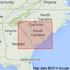
Numerous outcrops along Black River, Georgetown Co., SC, previously mapped as Peedee Formation are revised as the lower part of Black Mingo Formation. Coreholes, water wells, auger holes, and outcrops in other parts of the region have been examined for ostracode and palynomorph assemblages to determine the location of the Black Mingo-Peedee contact. What had been previously mapped as "Cretaceous marl" by Sloan (1908) and later termed Peedee by other workers is not Cretaceous based on fossil data. The Black Mingo-Peedee contact was not seen in outcrop in this study or in previous studies.
Source: GNU records (USGS DDS-6; Reston GNULEX).
- Usage in publication:
-
- Black Mingo Group
- Modifications:
-
- Revised
- AAPG geologic province:
-
- Atlantic Coast basin
Summary:
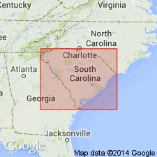
Black Mingo Formation raised in rank to Black Mingo Group. Consists of Sloan's (1908) Black Mingo phase (Black Mingo shale, Rhems Shale, Williamsburg pseudobuhr, and Lang Syne beds). Now includes (ascending) Rhems and Williamsburg Formations (Paleocene) and an unnamed Ypresian (Eocene) formation. Rhems is here reinstated; represents Sloan's Black Mingo shale and Rhems shale and Cooke's (1936) lower Black Mingo. Williamsburg is here reinstated; represents Sloan's pseudobuhr and parts of Rhems shale and Cooke's upper Black Mingo. Unnamed Ypresian unit has been recognized previously by Baum and others (1979). Although lithology of Rhems and Williamsburg are similar, the units represent independent depositional cycles separated by a regional Thanetian unconformity. Most continuous section of Black Mingo is in Clubhouse Crossroads corehole #1. Rhems Formation here divided into Browns Ferry Member (lower) and Perkins Bluff Member (upper). Williamsburg Formation here divided into Lower Bridge Member (lower) and Chicora Member (upper). Black Mingo Group bounded above and below by unconformities.
Source: GNU records (USGS DDS-6; Reston GNULEX).
- Usage in publication:
-
- Black Mingo Group
- Modifications:
-
- Revised
- AAPG geologic province:
-
- Atlantic Coast basin
Summary:
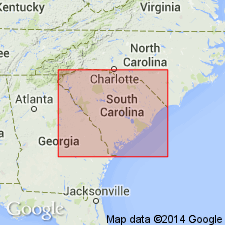
Fishburne Formation shown in correlation chart to be part of the Black Mingo Group, thus replacing the former unnamed Ypresian unit of Van Nieuwenhuise and Colquhoun (1982b).
Source: GNU records (USGS DDS-6; Reston GNULEX).
- Usage in publication:
-
- Black Mingo Group*
- Modifications:
-
- Biostratigraphic dating
- AAPG geologic province:
-
- Atlantic Coast basin
Summary:
Dinocyst flora from the St. Stephens rediversion canal pit are sparse and poorly preserved but do give keys to the age of the Williamsburg and Rhems Formations in the Black Mingo Group. Dinocyst flora indicate an early Paleocene age for the Rhems Formation and suggest correlation with upper part of Clayton Formation or Porters Creek Formation, AL and GA, unit P1 of Prowell and others, 1985) in GA, and the Ellenton Formation of SC Coastal Plain. Samples are close in age to Brightseat Formation in MD. Equivalent to nannofossil zones NP 3 and 4. Dinocyst flora indicate a late Paleocene age for samples in the lower part of the Williamsburg Formation of the Black Mingo Group and late Paleocene or early Eocene(?) age for a sample from its upper part. Lower samples suggest correlation with Aquia Formation in MD and VA, the Nanafalia or Tuscahoma Formations in AL, and unit P2 of Prowell and others (1985) in GA. Equivalent to nannofossil zones NP 8 and 9. Dinocyst flora from upper part of Williamsburg correspond to late Paleocene species in Nanafalia Formation, but in Europe they would correspond to early Eocene.
Source: GNU records (USGS DDS-6; Reston GNULEX).
- Usage in publication:
-
- Black Mingo Group
- Modifications:
-
- Revised
- AAPG geologic province:
-
- Atlantic Coast basin
Summary:
Sawdust Landing and Lang Syne Members of Rhems Formation raised in rank to Sawdust Landing and Lang Syne Formations of Black Mingo Group. Danian Sawdust Landing correlates with the downdip Rhems Formation; Thanetian Lang Syne correlates with the Williamsburg Formation.
Source: GNU records (USGS DDS-6; Reston GNULEX).
- Usage in publication:
-
- Black Mingo Group
- Modifications:
-
- Overview
- AAPG geologic province:
-
- Atlantic Coast basin
Summary:
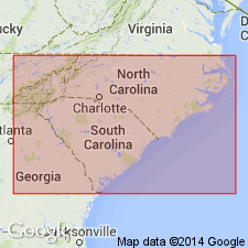
In this paper, the terminology of Nystrom and others (1989) is used for Paleocene sediments in the inner Coastal Plain of the Santee River area and the terminology of Van Nieuwenhuise and Colquhoun (1982) is used for the middle and outer Coastal Plain. Two depositional sequences are recognized in the Black Mingo Group. In the inner Coastal Plain they are the Danian Sawdust Landing Formation and the Thanetian Lang Syne Formation; in the outer Coastal Plain they are the Danian Rhems Formation and the Thanetian Williamsburg Formation. (Lang Syne was considered Danian by Muthig and Colquhoun, 1988.)
Source: GNU records (USGS DDS-6; Reston GNULEX).
For more information, please contact Nancy Stamm, Geologic Names Committee Secretary.
Asterisk (*) indicates published by U.S. Geological Survey authors.
"No current usage" (†) implies that a name has been abandoned or has fallen into disuse. Former usage and, if known, replacement name given in parentheses ( ).
Slash (/) indicates name conflicts with nomenclatural guidelines (CSN, 1933; ACSN, 1961, 1970; NACSN, 1983, 2005, 2021). May be explained within brackets ([ ]).

