- Usage in publication:
-
- Black Lake member
- Modifications:
-
- First used
- Dominant lithology:
-
- Marble
- AAPG geologic province:
-
- Adirondack uplift
Summary:
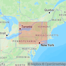
Lower Marble formation subdivided into several informal members. Lowermost is the Black Lake member, which occupies most of the terrane northwest of the Beaver Creek lineament where it is much thicker than east of the lineament. Consists of rusty graphite-phlogopite-calcite marbles with rusty gneiss bands and intercalated quartzite horizons. Underlies a thin unnamed scapolite member. Overlies and surrounds each body of the Hyde School Gneiss in the Lowlands.
Source: GNU records (USGS DDS-6; Reston GNULEX).
For more information, please contact Nancy Stamm, Geologic Names Committee Secretary.
Asterisk (*) indicates published by U.S. Geological Survey authors.
"No current usage" (†) implies that a name has been abandoned or has fallen into disuse. Former usage and, if known, replacement name given in parentheses ( ).
Slash (/) indicates name conflicts with nomenclatural guidelines (CSN, 1933; ACSN, 1961, 1970; NACSN, 1983, 2005, 2021). May be explained within brackets ([ ]).

