The National Geologic Map Database is migrating to a new infrastructure. We apologize for any service disruptions during this process.
|
|---|


- Usage in publication:
-
- Bitter Creek formation*
- Modifications:
-
- Adopted
- Areal extent
- Dominant lithology:
-
- Argillite
- AAPG geologic province:
-
- Alaska Southeastern region
Summary:
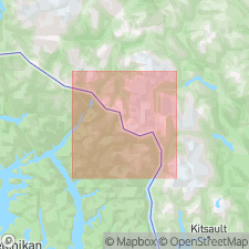
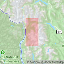
Bitter Creek formation of McConnell (1911) in northwestern British Columbia is [adopted] for usage in Salmon-Unuk River region of southeastern AK. Occurs in upper 25 or 30 mi of Unuk River valley and in band following along east side of Behm Canal. Unit consists mainly of argillite with some beds of altered greenstone of tuffaceous origin and small nonpersistent beds of crystalline limestone. [Conformably] underlies Bear River formation. Is thought to be Paleozoic of Mesozoic in age.
Source: GNU records (USGS DDS-6; Menlo GNULEX).
- Usage in publication:
-
- Bitter Creek formation
- Modifications:
-
- Age modified
- AAPG geologic province:
-
- Alaska Southeastern region
Summary:
Age may be Triassic or Early Jurassic based on regional correlations with Bulkley River district.
Source: GNU records (USGS DDS-6; Menlo GNULEX).
For more information, please contact Nancy Stamm, Geologic Names Committee Secretary.
Asterisk (*) indicates published by U.S. Geological Survey authors.
"No current usage" (†) implies that a name has been abandoned or has fallen into disuse. Former usage and, if known, replacement name given in parentheses ( ).
Slash (/) indicates name conflicts with nomenclatural guidelines (CSN, 1933; ACSN, 1961, 1970; NACSN, 1983, 2005, 2021). May be explained within brackets ([ ]).