

- Usage in publication:
-
- Birch Creek series*
- Modifications:
-
- Named
- Dominant lithology:
-
- Quartzite
- Schist
- AAPG geologic province:
-
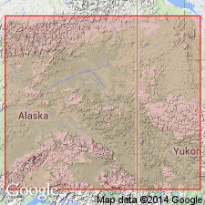
- Alaska East-Central region
Summary:
Named for Birch Creek district (where quartzite-schists are shown to best advantage), Yukon River, east-central AK. Occurs in Forty Mile Creek area and along Yukon River from just above mouth of Tanana nearly to mouth of Nowikakat. Geologic reconnaissance map shows unit extends eastward into North West Territory, Canada. Typical rock is quartzite, generally of light-gray color though locally passing into darker and graphitic varieties. Is about 25,000 feet thick. Overlies [?] Fortymile granite (new). "The possibility still exists, therefore, that the granite may be intrusive" p.137. Conformably underlies Fortymile series (new) [name later abandoned because rocks included in part of Birch Creek schist]. Intruded by dikes. [age not given]
Source: GNU records (USGS DDS-6; Menlo GNULEX).
- Usage in publication:
-
- Birch Creek schist*
- Modifications:
-
- Redescribed
- Areal extent
- Age modified
- AAPG geologic province:
-
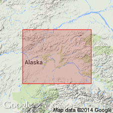
- Alaska East-Central region
Summary:
[Birch Creek schist accepted]. Shown on geologic reconnaissance map of Fairbanks and Rampart quads in area near Fairbanks. Described as quartzite schists, quartz-micaschists, garnetiferous schists, and crystalline limestone. Stratigraphic chart gives age as Paleozoic or pre-Paleozoic.
Source: GNU records (USGS DDS-6; Menlo GNULEX).
- Usage in publication:
-
- Birch Creek Schist†
- Modifications:
-
- Abandoned
- AAPG geologic province:
-
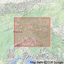
- Alaska East-Central region
Summary:
Named Birch Creek Schist abandoned because it has doubtful value as a rock-stratigraphic unit. Brief history of usage included. Authors say Spurr (1898) considered type area to be headwaters of Birch Creek about 80 mi northeast of Fairbanks, AK. This report describes metamorphic complex in two groups: rocks of Fairbanks-Big Delta region and rocks of Fortymile-Eagle region. Age of metamorphic rocks considered to be Precambrian(?) and Paleozoic based on radiometric dating methods.
Source: GNU records (USGS DDS-6; Menlo GNULEX).
For more information, please contact Nancy Stamm, Geologic Names Committee Secretary.
Asterisk (*) indicates published by U.S. Geological Survey authors.
"No current usage" (†) implies that a name has been abandoned or has fallen into disuse. Former usage and, if known, replacement name given in parentheses ( ).
Slash (/) indicates name conflicts with nomenclatural guidelines (CSN, 1933; ACSN, 1961, 1970; NACSN, 1983, 2005, 2021). May be explained within brackets ([ ]).