- Usage in publication:
-
- Bill Arp Formation
- Modifications:
-
- Named
- Dominant lithology:
-
- Schist
- Graywacke
- AAPG geologic province:
-
- Piedmont-Blue Ridge province
Summary:
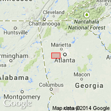
The Bill Arp Formation, used informally by Crawford and Medlin (1974), is here named in the Austell-Frolona antiform in west-central GA. It is revised to include the informal Union Grove Church schist of Crawford and Medlin (1974) and is assigned to the informal Roosterville group. It consists of interlayered mica schist and metagraywacke. Stratigraphically overlies but due to refolding, structurally underlies the Andy Mountain Formation. Intruded by the Austell Gneiss. Age is Proterozoic.
Source: GNU records (USGS DDS-6; Reston GNULEX).

- Usage in publication:
-
- Bill Arp Formation
- Modifications:
-
- Revised
- Age modified
- AAPG geologic province:
-
- Piedmont-Blue Ridge province
Summary:
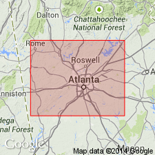
The Bill Arp Formation is here assigned to the Sandy Springs Group (western belt) in the Austell-Frolona antiform. It stratigraphically overlies, but structurally underlies, the Andy Mountain Formation. It is intruded by the Austell Gneiss. Age is Late Proterozoic and (or) early Paleozoic.
Source: GNU records (USGS DDS-6; Reston GNULEX).

- Usage in publication:
-
- Bill Arp Formation*
- Modifications:
-
- Revised
- Age modified
- AAPG geologic province:
-
- Piedmont-Blue Ridge province
Summary:
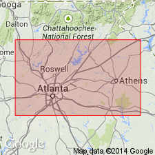
The informal Bill Arp unit of Crawford and Medlin (1974), formally named the Bill Arp Formation by Abrams and McConnell (1981), is here removed from Sandy Springs Group and assigned to the Great Smoky Group in the Austell-Frolona anticlinorium in the Bill Arp thrust sheet in GA. It overlies the Frolona Formation. Age is Late Proterozoic.
Source: GNU records (USGS DDS-6; Reston GNULEX).

- Usage in publication:
-
- Bill Arp Formation*
- Modifications:
-
- Revised
- Age modified
- AAPG geologic province:
-
- Piedmont-Blue Ridge province
Summary:
Bill Arp Formation cannot be definitely correlated with Great Smoky Group in Great Smoky Mountains in TN and NC; therefore, it is removed from the Great Smoky Group. It probably also should be removed from Ocoee Supergroup, but little evidence exists for or against its removal from the Ocoee. Also revised in that it overlies informal schist of Hulett (new) in the Frolona fold, but nature of contact is unknown. Age of Bill Arp is constrained only by bracketing; it is younger than Middle(?) to Late Proterozoic Corbin Metagranite because its metaconglomerates contain blue quartz and potassium feldspar probably derived from Corbin, and because basement and Nantahala Formation have commonly been thrust over it. It is probably younger than Nantahala which has been thrust upon it in Mulberry Rock structure, but which underlies it, apparently conformably, in other places. Age is now tentatively considered to be Late Proterozoic to Middle Ordovician. Report includes geologic map and correlation chart.
Source: GNU records (USGS DDS-6; Reston GNULEX).
For more information, please contact Nancy Stamm, Geologic Names Committee Secretary.
Asterisk (*) indicates published by U.S. Geological Survey authors.
"No current usage" (†) implies that a name has been abandoned or has fallen into disuse. Former usage and, if known, replacement name given in parentheses ( ).
Slash (/) indicates name conflicts with nomenclatural guidelines (CSN, 1933; ACSN, 1961, 1970; NACSN, 1983, 2005, 2021). May be explained within brackets ([ ]).

