

- Usage in publication:
-
- Bignell formation
- Modifications:
-
- Original reference
- Dominant lithology:
-
- Loess
- AAPG geologic province:
-
- Chadron arch
Summary:
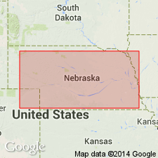
Pg. 241-244. Bignell formation. Name proposed for one of four principal loess deposits in the Pleistocene of Nebraska, and adjacent states. Well exposed near Bignell, Lincoln County, Nebraska. Is a gray loess separated from "Peorian" loess by prominent soil and overlain by complex top soil. Also contains extensive alluvial deposits. Age is late Pleistocene. Report includes cross sections.
Type section: 1.7 mi due south of Bignell, southeast of North Platte, in E/2 E/2 sec. 3, T. 12 N., R. 29 W., Lincoln Co., NE.
Source: US geologic names lexicon (USGS Bull. 1200, p. 337-338); supplemental information from GNU records (USGS DDS-6; Denver GNULEX).

- Usage in publication:
-
- Bignell silt member
- Modifications:
-
- Revised
- Areal extent
- AAPG geologic province:
-
- Chadron arch
Summary:
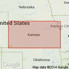
Pg. 50-51. Bignell silt member of Sanborn formation. Geographically extended into Kansas where it is considered silt member of Sanborn formation. Occurs above Brady soil at top of Peoria silt member. Thickness in Rice County, 1.5 feet.
Source: US geologic names lexicon (USGS Bull. 1200, p. 337-338).

- Usage in publication:
-
- Bignell silt member
- Modifications:
-
- Overview
- AAPG geologic province:
-
- Chadron arch
Summary:
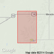
Pg. 138-140, [178]. Bignell silt member of Sanborn formation. Forms thin discontinuous widely distributed deposits over northwestern part of Kansas. Commonly less than 10 feet thick; resembles underlying Peoria loess in lithology; contains distinctive though sparse, molluscan fauna. [Paucity of the post-Bradyan fauna except at Iowa Point section does not permit faunal zonation of the Bignell loess or terraces of = age. All that can be said of the age of the faunal assemblage is that it includes some segment, whether large or small is not known, of Caryan-Mankatoan time. See occurrence chart (fig. 10).] Rests on Brady soil. Age is Late Pleistocene [late Wisconsinan glacial stage] (Caryan-Mankatoan).
Source: US geologic names lexicon (USGS Bull. 1200, p. 337-338).
- Usage in publication:
-
- Bignell formation
- Modifications:
-
- Revised
- AAPG geologic province:
-
- Anadarko basin
Summary:
Pg. 55 (fig. 1). Bignell formation. At top of Sanborn group.
Source: US geologic names lexicon (USGS Bull. 1200, p. 337-338).
- Usage in publication:
-
- Bignell formation
- Modifications:
-
- Revised
- AAPG geologic province:
-
- Chadron arch
Summary:
Shown on correlation chart as Bignell formation. [Kansas does not use term Sanborn group.]
Source: US geologic names lexicon (USGS Bull. 1200, p. 337-338).
- Usage in publication:
-
- Bignell Loess*
- Modifications:
-
- Areal extent
- AAPG geologic province:
-
- Chadron arch
Summary:
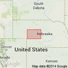
Pleistocene Peoria Loess map unit includes Bignell Loess of Reed and Dreeszen (1965, Univ. Nebraska Conserv. and Survey Div. Bull. 23) [thus author considers Bignell to be Pleistocene age]. Study area is west-central NE (Chadron arch).
Source: GNU records (USGS DDS-6; Denver GNULEX).
- Usage in publication:
-
- Bignell Loess
- Modifications:
-
- Overview
- AAPG geologic province:
-
- Chadron arch
Summary:
Pg. 29. Bignell Loess. Overlies the Peoria loess and is differentiated from it by the presence of the underlying Brady Geosol or by means of fossil snails. The Bignell loess is approx. one-fourth as thick as the Peoria loess. It is obscured in modern soil profiles where the loess is thin. It is medium- to coarse-grained, light yellowish-brown silt which contains very fine- to fine-grained sand. Age is late Pleistocene (Wisconsinan).
See also J.W. Whitfield, "Pleistocene Series," IN T.L. Thompson, 1995, "The stratigraphic succession in Missouri," Missouri Div. Geol. and Land Survey, 2nd ser., v. 40 (revised), p. 143-149.
Source: Publication.
For more information, please contact Nancy Stamm, Geologic Names Committee Secretary.
Asterisk (*) indicates published by U.S. Geological Survey authors.
"No current usage" (†) implies that a name has been abandoned or has fallen into disuse. Former usage and, if known, replacement name given in parentheses ( ).
Slash (/) indicates name conflicts with nomenclatural guidelines (CSN, 1933; ACSN, 1961, 1970; NACSN, 1983, 2005, 2021). May be explained within brackets ([ ]).