The National Geologic Map Database is migrating to a new infrastructure. We apologize for any service disruptions during this process.
|
|---|


- Usage in publication:
-
- Big Yellow Sandstone Member
- Modifications:
-
- Named
- Dominant lithology:
-
- Sandstone
- AAPG geologic province:
-
- Permian basin
Summary:
Pg. 107, pl. 2. Big Yellow Sandstone Member of Canoe Formation of Big Bend Park Group. Massive yellow sandstone, 30 to 50 feet thick. Basal unit of formation. Has irregular base and occupies channels in Hannold Hill Formation. Underlies unnamed upper part of formation. Age is middle Eocene
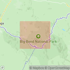
Named from Big Yellow arroyo in southern Tornillo Flat, Big Bend National Park, Brewster Co., southwestern TX.
Source: US geologic names lexicon (USGS Bull. 1350, p. 69).
For more information, please contact Nancy Stamm, Geologic Names Committee Secretary.
Asterisk (*) indicates published by U.S. Geological Survey authors.
"No current usage" (†) implies that a name has been abandoned or has fallen into disuse. Former usage and, if known, replacement name given in parentheses ( ).
Slash (/) indicates name conflicts with nomenclatural guidelines (CSN, 1933; ACSN, 1961, 1970; NACSN, 1983, 2005, 2021). May be explained within brackets ([ ]).