The National Geologic Map Database is migrating to a new infrastructure. We apologize for any service disruptions during this process.
|
|---|


- Usage in publication:
-
- Big Mountain shale member*
- Modifications:
-
- Named
- Dominant lithology:
-
- Shale
- Limestone
- AAPG geologic province:
-
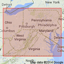
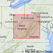
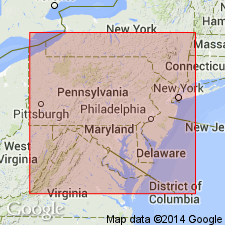
- Appalachian basin
Summary:
Greenish to yellowish calcareous shale with some impure limestones separating upper limestone member of Keyser limestone from lower limestone member here named Big Mountain shale member for exposures at Big Mountain in Pendleton Co. Unit extends into western VA as far south as Bolar Springs, where it wedges out and is replaced by part of the massive Clifton Forge sandstone member of Keyser limestone, with which it intertongues to north. 61 ft thick at Big Mountain, but thins to north and south. 45 ft thick near Franklin and Wardensville, WV, and 10 ft at Strait Creek, Highland Co., VA. Age is Early Devonian.
Source: GNU records (USGS DDS-6; Reston GNULEX).

- Usage in publication:
-
- Big Mountain shale member
- Modifications:
-
- Areal extent
- AAPG geologic province:
-
- Appalachian basin
Summary:
Unit described as dark thin-bedded calcareous shale with limestone bands and locally partly knobby or irregular bedding. Relatively unfossiliferous limestones; contacts with adjacent units are sharp. Passes laterally into lower part of Clifton Forge sandstone of Alleghany Co., VA, and adjacent areas in WV.
Source: GNU records (USGS DDS-6; Reston GNULEX).
- Usage in publication:
-
- Big Mountain Shale Member
- Modifications:
-
- Age modified
- AAPG geologic province:
-
- Appalachian basin
Summary:
Age of Big Mountain shown as Late Silurian to Early Devonian.
Source: GNU records (USGS DDS-6; Reston GNULEX).
- Usage in publication:
-
- Big Mountain Shale Member*
- Modifications:
-
- Age modified
- Biostratigraphic dating
- AAPG geologic province:
-
- Appalachian basin
Summary:
Conodont data and extrapolation from regional lithofacies relationships indicate that the Silurian-Devonian boundary lies within the uppermost Keyser Limestone (in the upper limestone member in west-central VA and east-central WV, and in the LaVale Member in northeast WV and central PA [and in MD by implication]). Therefore, Byers Island, Jersey Shore, Big Mountain Shale, and Clifton Forge Sandstone Members considered entirely Late Silurian.
Source: GNU records (USGS DDS-6; Reston GNULEX).
For more information, please contact Nancy Stamm, Geologic Names Committee Secretary.
Asterisk (*) indicates published by U.S. Geological Survey authors.
"No current usage" (†) implies that a name has been abandoned or has fallen into disuse. Former usage and, if known, replacement name given in parentheses ( ).
Slash (/) indicates name conflicts with nomenclatural guidelines (CSN, 1933; ACSN, 1961, 1970; NACSN, 1983, 2005, 2021). May be explained within brackets ([ ]).