- Usage in publication:
-
- Big Elk sandstone member*
- Modifications:
-
- Original reference
- Dominant lithology:
-
- Sandstone
- AAPG geologic province:
-
- Central Montana uplift
Summary:
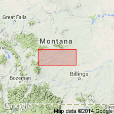
Pg. 189, 195-198. Big Elk sandstone member of Colorado shale. In western part of Musselshell Valley, central southern Montana, the lower 500 feet of Colorado shale consists of black fissile shales, for most part sandy, in which are numerous thin quartzitic sandstones. This is followed upward by a thin but prominent conglomeratic sandstone; above which are 300 feet of shales and thin quartzitic sandstones. Next comes a sandy division, 200+/- feet thick, in which there is a coarse sandstone at least 100 feet thick, and at top a conglomeratic bed 4 or 5 feet thick. This division is here named Big Elk sandstone member of Colorado shale, from its exposures in Big Elk dome [in western part of Musselshell Valley, Meagher and Sweetgrass Counties, central southern Montana]. It is 1,200+ feet below top of Colorado formation and in approximate position of Frontier formation, but the two can not be directly correlated. Remainder of Colorado formation consists chiefly of shale with a sandy transition zone near top. Age is Late Cretaceous.
[Detailed section of Big Elk member gives (descending):
1. ss., coarse, slightly conglomeratic; bone fragments, fish teeth, and HALYMENITES MAJOR, 5 ft.
2. concealed, probably sh. or sandy sh., 45 ft.
3. ss., qtzitic, in thin beds alternating with sh., 41 ft.
4. ss., coarse, somewhat massive; bone fragments, 157 ft.]
Source: US geologic names lexicon (USGS Bull. 896, p. 183).

- Usage in publication:
-
- Big Elk Sandstone Member
- Modifications:
-
- Revised
- AAPG geologic province:
-
- Central Montana uplift
Summary:
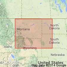
Originally assigned to Colorado Shale. In this report, is assigned to Mowry Shale in central MT and in the Livingston area, MT, Central Montana uplift. Overlies an unnamed part of the Mowry. Disconformably underlies Belle Fourche Shale. Usually is a gray to brown, fine- to medium-grained, subangular to subround, poorly sorted, mostly quartz sandstone about 100 ft thick. Is silty to clayey. Of mixed continental and marine origin. Nomenclature chart. Cross sections. Of late Albian, Early Cretaceous age.
Source: GNU records (USGS DDS-6; Denver GNULEX).
For more information, please contact Nancy Stamm, Geologic Names Committee Secretary.
Asterisk (*) indicates published by U.S. Geological Survey authors.
"No current usage" (†) implies that a name has been abandoned or has fallen into disuse. Former usage and, if known, replacement name given in parentheses ( ).
Slash (/) indicates name conflicts with nomenclatural guidelines (CSN, 1933; ACSN, 1961, 1970; NACSN, 1983, 2005, 2021). May be explained within brackets ([ ]).

