

- Usage in publication:
-
- Big Dome Formation*
- Modifications:
-
- Named
- Geochronologic dating
- Dominant lithology:
-
- Conglomerate
- Tuff
- AAPG geologic province:
-
- Basin-and-Range province
Summary:
Big Dome Formation. Rocks formerly included in Gila Conglomerate (geographically restricted). Divided into 4 lithofacies and includes at least 2 tuff beds. (1) diverse clasts facies; clasts of schist, diorite, granite, sedimentary rocks, and diabase of Precambrian age, Paleozoic sedimentary rocks, and Mesozoic and Tertiary intrusive and extrusive rocks, including fragments of Apache Leap Tuff; at type locality. (2) intrusive clasts facies; clasts mostly from Ruin Granite and locally from Tortilla Quartz Diorite; along and south of Gila River. (3) carbonate clasts facies; boulders, cobbles, and pebbles of Paleozoic limestones; forms southwest flank of Dripping Spring Mountains. (4) volcanic clasts facies; abundant mafic volcanic clasts of Williamson Canyon Volcanics; area surrounding Hayden. Thickness at type about 400 feet; thickens to 600+ feet to south. Conformably overlies Apache Leap Tuff or, where absent, unconformably overlies San Manuel Formation. Unconformably underlies Quiburis Formation. Age is late Miocene, based on K-Ar ages (on biotite and hornblende) of 14 and 17 Ma. Samples taken from a nonwelded quartz latite ash-flow tuff, 0 to 20 feet thick, interbedded with intrusive facies (citing Cornwall and others, 1971, USGS Geol. Quad. Map GQ-1021; Banks and others, 1972, Econ. Geol., v. 67, no. 7, p. 864-868). Report includes geologic map, nomenclature chart.
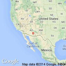
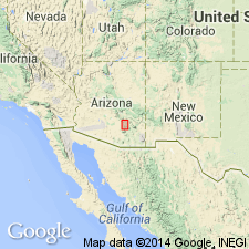
Type locality: Big Dome, on west side of Mineral Creek, in W/2 sec. 25, T. 3 S., R. 13 E., Sonora 7.5-min quadrangle, Pinal Co., southeastern AZ (Basin-and-Range province).
Big Dome mapped on north side of Gila River, between towns of Ray and Hayden, in Hayden, Kearny, and Sonora (Cornwall and others, 1971, USGS Geol. Quad. Map GQ-1021) 7.5-min quadrangles. Isolated outcrops mapped on west side of San Pedro River, in Crozier Peak and along Hayden-Winkelman 7.5-min quadrangle border; Big Dome(?) mapped in Putnam Wash and Winkelman 7.5-min quadrangles. (See Krieger, 1973, USGS Geol. Quad. Maps GQ-1106, 1107, 1109.)
Source: Publication; GNC index card files (USGS-Menlo); GNU records (USGS DDS-6; Denver GNULEX, Menlo GNULEX).
- Usage in publication:
-
- Big Dome Formation*
- Modifications:
-
- Age modified
- Geochronologic dating
- AAPG geologic province:
-
- Basin-and-Range province
Summary:
Age of the Big Dome Formation is early or middle Miocene based on radiometric (K-Ar) ages of 17 (hornblende) Ma and 14 (biotite) Ma.
Source: GNU records (USGS DDS-6; Menlo GNULEX).
For more information, please contact Nancy Stamm, Geologic Names Committee Secretary.
Asterisk (*) indicates published by U.S. Geological Survey authors.
"No current usage" (†) implies that a name has been abandoned or has fallen into disuse. Former usage and, if known, replacement name given in parentheses ( ).
Slash (/) indicates name conflicts with nomenclatural guidelines (CSN, 1933; ACSN, 1961, 1970; NACSN, 1983, 2005, 2021). May be explained within brackets ([ ]).